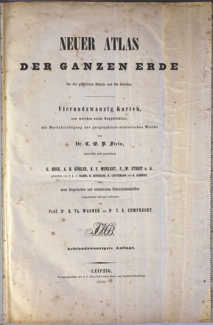
Subject: Atlases
Period: 1856 (published)
Publication:
Color: Hand Color
Size:
20.4 x 17 inches
51.8 x 43.2 cm
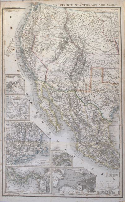
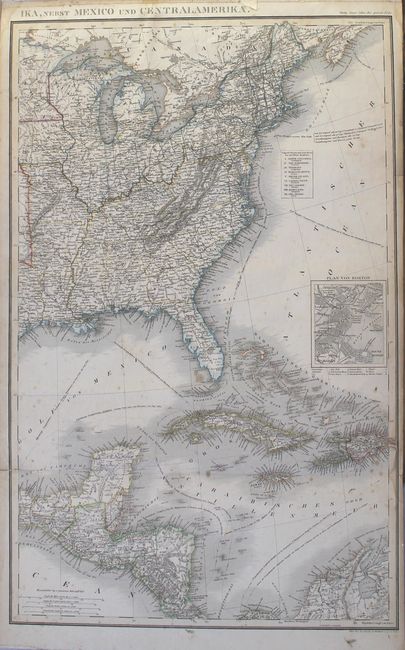
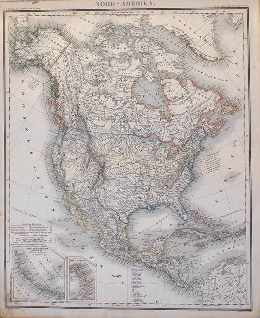
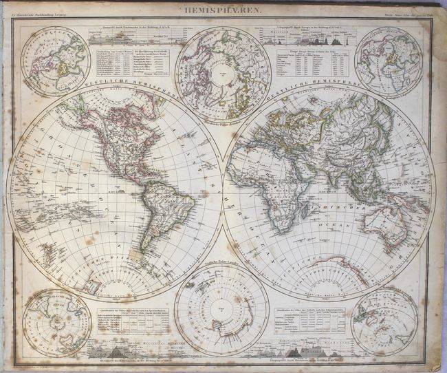
This large, German school atlas has 22 maps on 24 sheets, several of which are folding. The maps include a double-hemisphere world, Europe, Asia, Africa, North America, South America, Australia and the South Pacific Ocean, the Iberian Peninsula, France, the United Kingdom, the Low Countries, Scandinavia, Denmark, northern German, southern Germany, Austria, Italy, Poland, Russia (on two sheets), Greece, the Middle East, and the United States (on two sheets). Also included are tables listing the major events in the history of the world, and all of the countries of the world, including information on their states or regions, major cities, and populations. The sheer size of this atlas allows for maps filled with detail, including roads, railroads, and topography.
The two-sheet map of the United States, Vereinigte Staaten von Nordamerika, nebst Mexico und Centralamerika, is dated 1855 and would measure about 30 x 25.8" if joined. There are interesting boundaries in the west, with a large Northwest Territory, Washington and Oregon extending to the Rocky Mountains, Utah encompassing Nevada and part of Colorado, New Mexico extending to include Arizona and the southern tip of Nevada, and Kansas extending into part of Colorado. The map includes insets of New England, San Francisco, New York, Boston, and the German colony of Wartburg in Tennessee, the Isthmus of Panama, and central Panama (showing the rail line between Chagres and Panama City). Ship routes and their distances are noted in the oceans. The map was created by G. Heck, R. Schmidt, H. Eberhardt, and J.L. v. Boehr.
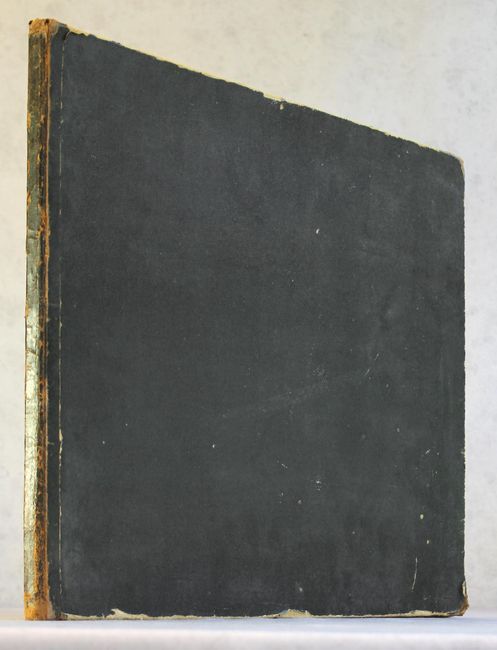
Small, oblong folio. Hardbound in quarter black leather over black cloth-covered boards.
References:
Condition: B
The maps have original outline color, light to moderate foxing, light toning along the edges of the sheets, and occasional short tears that have mostly been closed on verso with old paper. The text pages have moderate toning with heavy foxing. A page on the history of the world has a long tear extending to the middle of the sheet. The title page, list of maps and advertisements have extraneous creasing and the fore-edges have been partially reinforced with old paper. The covers are rubbed along the edges with bumped corners and some stains and small abrasions. The spine is well worn and cracked.