Catalog Archive
Auction 161, Lot 695

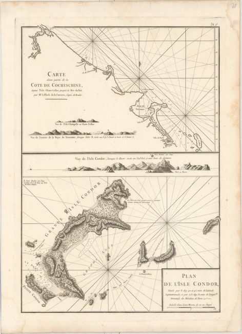
"Carte d'une Partie de la Cote de Cochinchine, Depuis l'Isle Cham-Collao Jusqu'a la Riv. du Roi... [on sheet with] Plan de l'Isle Condor...", Apres de Mannevillette, Jean B. N. D.

Subject: Vietnam

Period: 1775 (circa)

Publication:

Color: Black & White

Size:
13.3 x 19.1 inches
33.8 x 48.5 cm
Download High Resolution Image
(or just click on image to launch the Zoom viewer)

Contains two charts on one sheet. The top chart depicts the southern coast of Vietnam, and the bottom chart shows Condor Island off the coast. Both show good coastal information including numerous soundings, shoals, anchorages, and approach views.

A French sailor and hydrographer, D' Après de Mannevillette (1707-1780) used new instruments to correct the latitudes measured by previous explorers. His atlas Le Neptune Oriental, first published in 1745, was considered a major achievement and an indispensable resource for navigators.

References: Shirley (BL Atlases) M.APR-1c.

Condition: A

A dark impression on watermarked paper with light damp staining confined to the blank margins.

Estimate: $80 - $100

Sold for: $120

Closed on 2/8/2017

Archived