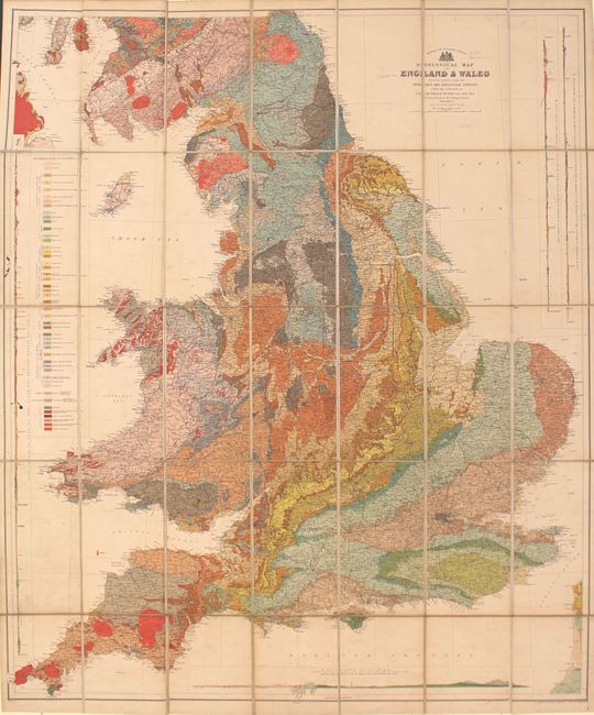
Subject: England & Wales
Period: 1897 (published)
Publication:
Color: Printed Color
Size:
33.8 x 40 inches
85.9 x 101.6 cm
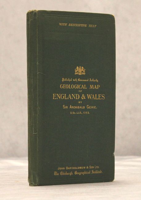
This superb, large-scale thematic map covers England and Wales. It is vibrantly colored to illustrate nearly 50 different geological types. The map provides exceptional detail of the roads, canals, and railways that made up the transportation system. In addition, there are four profile maps along the sides and bottom showing the geology for specific locales. Dissected and laid on original linen, the map folds into green cloth boards, also containing 28 pages of explanatory notes, with gilt text on the front cover. Published by John Bartholomew & Son.
References:
Condition: B+
Light soiling on the map. There is light wear to the covers and there are short tears to the title page of the explanatory notes that have been closed with archival tape on verso.