Catalog Archive
Auction 159, Lot 371
"Carte des Provinces de Cartagene, S Marthe et Venezuela pour Servir a l'Histoire Generale des Voyages", Bellin, Jacques Nicolas
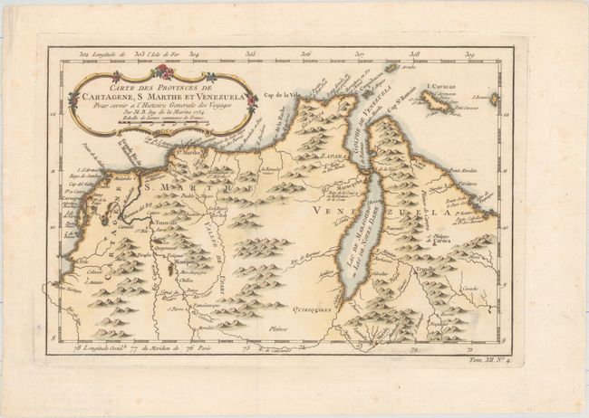
Subject: Colombia & Venezuela
Period: 1754 (dated)
Publication: Histoire Generale des Voyages
Color: Hand Color
Size:
11.6 x 7.7 inches
29.5 x 19.6 cm
Download High Resolution Image
(or just click on image to launch the Zoom viewer)
(or just click on image to launch the Zoom viewer)