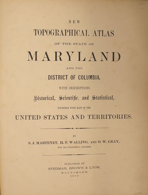
Subject: Maryland & Washington, D.C., Atlases
Period: 1873 (published)
Publication:
Color: Hand Color
Size:
13.9 x 17.6 inches
35.3 x 44.7 cm
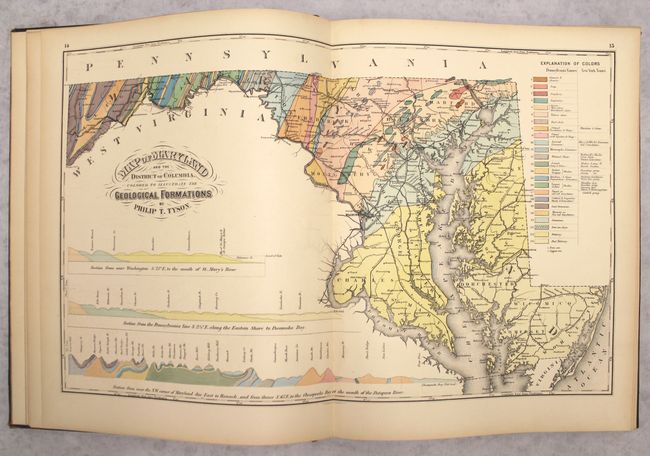
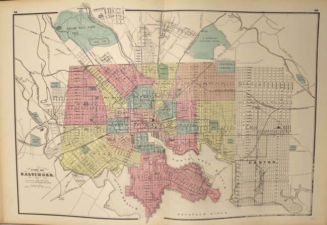
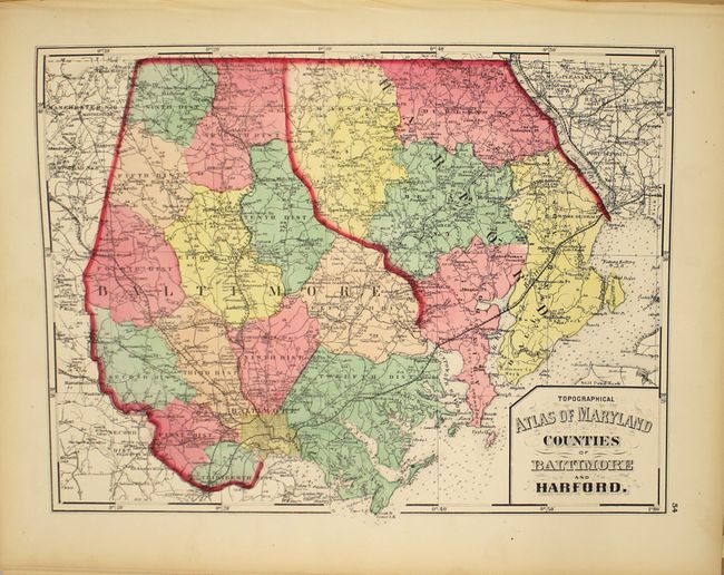
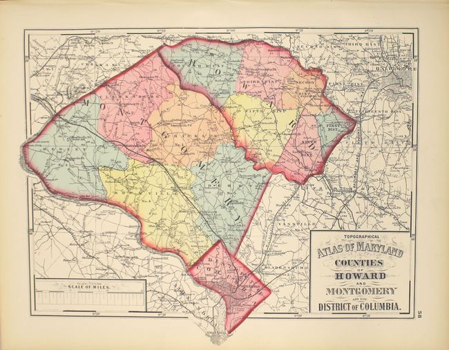
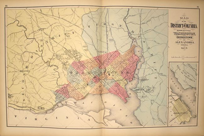
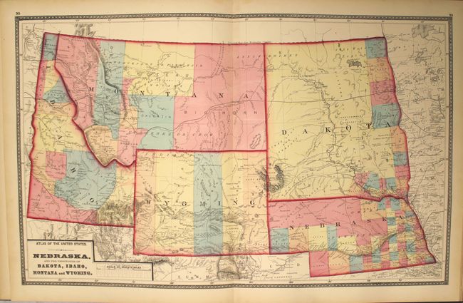
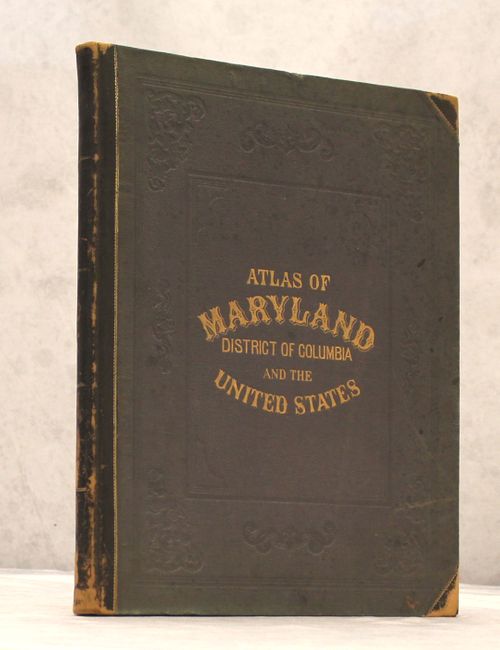
This atlas of Maryland and Washington, D.C. includes maps of counties and townships, as well as maps of the world, the United States and its regions. The atlas consists of 12 double-page and 18 single-page maps, including city maps of Baltimore, D.C., Alexandria, Annapolis, Cumberland, Frederick, Georgetown, and Hagerstown. There are three double-page maps of Maryland representing the geology, climate, and railroads of the state. The 17-page "General Description" outlines information on the topography, history, geology, zoology, climatology, education, and railways and canals of Maryland, as well as a brief history and description of Washington, D.C. Also included are 14 pages of classified directories of the "Principal Business Men" of Baltimore, the District of Columbia, and several Maryland counties. Elephant Folio, in original brown quarter leather with tips over blue cloth covers with gilt stamped title and embossing on front cover.
References:
Condition: A
Maps are clean and bright with light toning along the edges and minor edge tears on a couple of maps. Text is very lightly toned. Leather spine and corners are rubbed and covers are lightly sunned. Overall excellent condition for this rare atlas.