Catalog Archive
Auction 158, Lot 430

"Carte Reduite des Costes Occidentales d'Afrique Depuis l'Equateur Jusqu'au Vingtieme Degre de Latitude Meridionale...", Bellin, Jacques Nicolas

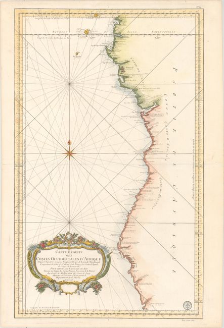
Subject: Western Africa

Period: 1754 (dated)

Publication: L'Hydrographie Francoise…

Color: Hand Color

Size:
21.6 x 35.2 inches
54.9 x 89.4 cm
Download High Resolution Image
(or just click on image to launch the Zoom viewer)

This large, striking sea chart of the southwestern coast of Africa covers the coast from the equator to 20° S latitude; Gabon (with Sao Tome and Principe) to Namibia. It provides a wealth of information including anchorages, forts, villages, and navigational hazards. The Skeleton Coast is marked as unknown (Coste n'est pas connue). The handsome chart features rhumb lines, a decorative compass rose, and an exquisite title cartouche. The Depot de la Marine seal and Prix. trente Sols is at lower right.

References:

Condition: A

On watermarked paper with a couple of small paper flaws that have been repaired with archival materials on verso. In the blank margins, centerfold separations at left and right and a short edge tear have been closed with archival materials.

Estimate: $325 - $400

Sold for: $240

Closed on 6/22/2016

Archived