Catalog Archive
Auction 158, Lot 405

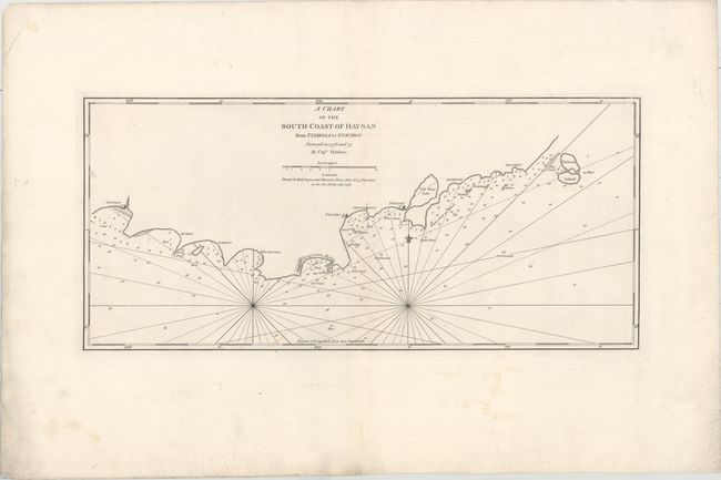
"A Chart of the South Coast of Hay-Nan from Tinhosa to Guichou...", Sayer & Bennett

Subject: Southern China

Period: 1781 (dated)

Publication:

Color: Black & White

Size:
28.7 x 13.1 inches
72.9 x 33.3 cm
Download High Resolution Image
(or just click on image to launch the Zoom viewer)

This fine sea chart depicts the southern coast of Hainan Island, China's most southerly point. It includes important navigational information including soundings, shoals and soil type and identifies the coastal forts of Guichou, Tonckeu, and Tongsoy. Based upon the surveys of Capt. Hadane in 1776 and 77.

References:

Condition: A

On a heavy sheet with very wide margins and a few tiny holes only noticeable when held to light. Faint manuscript notations are confined to the blank margins.

Estimate: $300 - $375

Sold for: $220

Closed on 6/22/2016

Archived