Subject: Holy Land
Period: 1850 (circa)
Publication:
Color: Hand Color
Size:
33.5 x 12.8 inches
85.1 x 32.5 cm
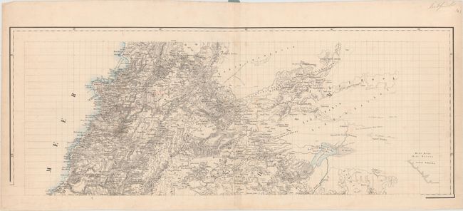
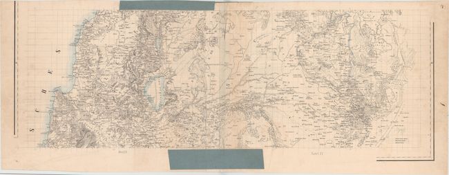
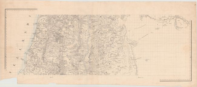
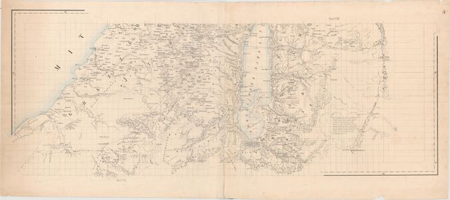
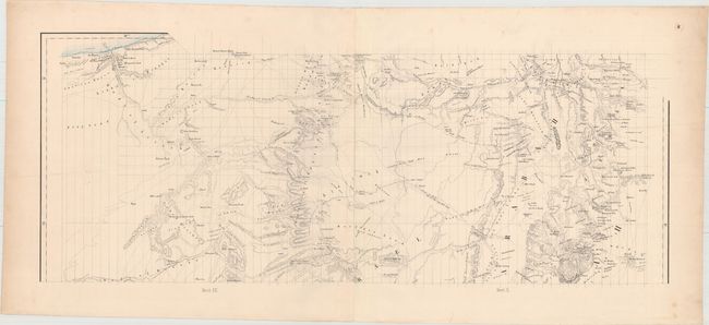
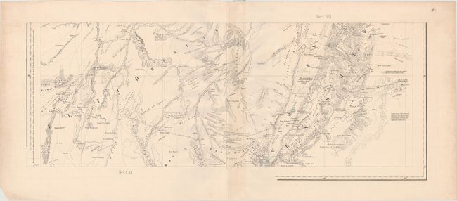
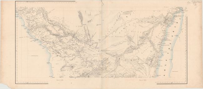
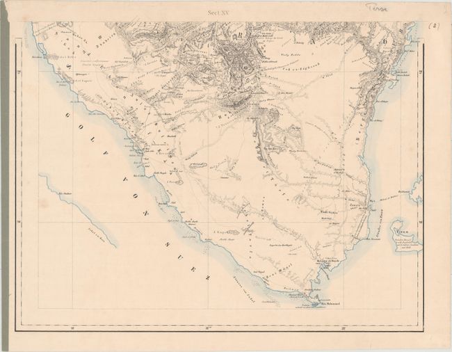
This large-scale, composite map of Palestine consists of 15 sections on 8 sheets and covers the region from Beirut, Lebanon south through Israel and the Sinai Peninsula. When assembled, the entire map would measure over 8 feet long. Beyond its sheer size, the map is impressive for its incredibly detailed topography and the vast number of routes and trails identified on the map which would have been very useful for a traveler at the time. Also depicted are scores of place names, river systems, and roads with various notations shown throughout. A nice example of precise German cartography, created by Carl Zimmerman and published by G. Reimer.
References: Rumsey #7925.
Condition: B+
Occasional light staining and soiling, one fold separation at the top of Sheet III/IV that extends 2.5" into the image, and several edge chips and tears confined to the blank margins.