Catalog Archive
Auction 158, Lot 351
"Nova Mappa Geographica Maris Assoviensis vel de Zabache et Paludis Maeotidis Accurate Aeri Incisa et in Luce Edita", Seutter, Matthias
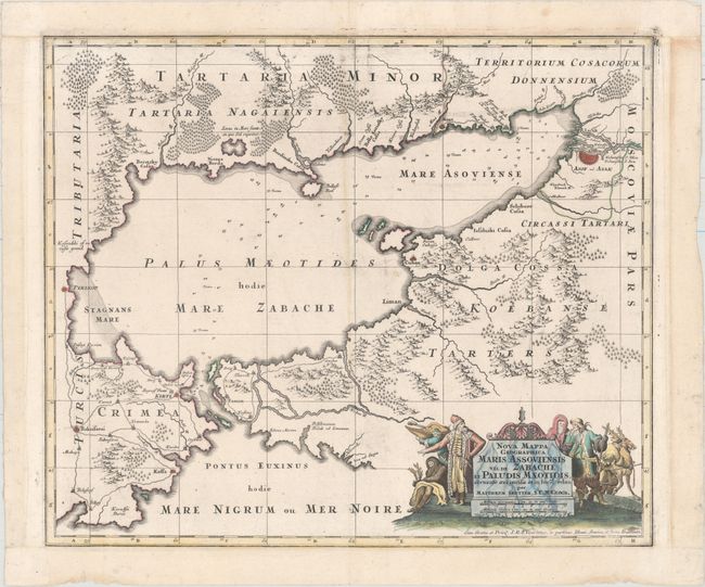
Subject: Black Sea & Crimea
Period: 1740 (circa)
Publication:
Color: Hand Color
Size:
22.7 x 19.1 inches
57.7 x 48.5 cm
Download High Resolution Image
(or just click on image to launch the Zoom viewer)
(or just click on image to launch the Zoom viewer)