Catalog Archive
Auction 158, Lot 324

"Marchionatus Brandenburgi et Ducatus Pomeraniae Tabula quae est Pars Septentrionalis Circuli Saxoniae Superioris", Wit, Frederick de

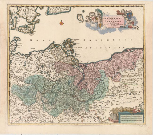
Subject: Northern Germany & Poland

Period: 1725 (circa)

Publication:

Color: Hand Color

Size:
21.6 x 18.8 inches
54.9 x 47.8 cm
Download High Resolution Image
(or just click on image to launch the Zoom viewer)

A handsome and detailed map of the historical regions of Brandenburg and Pomerania, straddling the modern-day border between Germany and Poland. The map is fully engraved with towns, political boundaries, rivers, and forests. The map is embellished with a title cartouche floating in the clouds with putti and coats of arms, and a distance scale featuring bee hives and a field of wheat. This edition was published by Covens & Mortier.

References:

Condition: A

A dark impression with full original color on watermarked paper. There are professional repairs to several large chips in the blank margins at right and left, not affecting map.

Estimate: $325 - $400

Sold for: $190

Closed on 6/22/2016

Archived