Catalog Archive
Auction 158, Lot 321

"Totius Rheni Abeius Capitibus ad Oceanum Usque Germanicum in quam se Exonerat Novissima Descriptio", Allard, Hugo

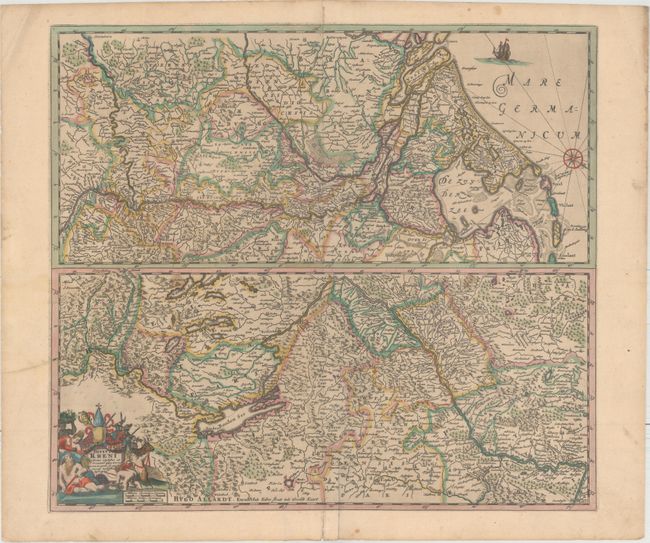
Subject: Rhine River

Period: 1660 (circa)

Publication:

Color: Hand Color

Size:
19.9 x 17.8 inches
50.5 x 45.2 cm
Download High Resolution Image
(or just click on image to launch the Zoom viewer)

Two maps on one sheet, one above the other, charting the course of the Rhine River. Beginning on the bottom map, from its spring at the Bodensee, the river flows west through Switzerland, then north through France and Germany, before transitioning to the top map to show its continued course through western Germany, the Netherlands, and into the North Sea. The lower map has an allegorical title cartouche, while the upper map is decorated with a ship and a compass rose that orients the north to right.

References:

Condition: B+

Full original color with two small stains at the top of the lower map, a couple of printer's creases at left, and a short extraneous crease adjacent to the centerfold.

Estimate: $700 - $850

Unsold

Closed on 6/22/2016

Archived