Catalog Archive
Auction 158, Lot 294

"Carte de Provence et des Terres Adjacentes", Delisle/Covens & Mortier

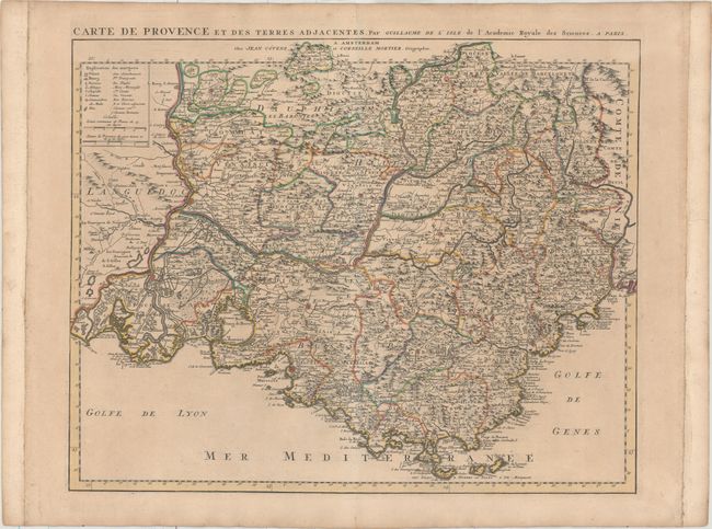
Subject: Southeast France

Period: 1745 (circa)

Publication:

Color: Hand Color

Size:
23.3 x 18.6 inches
59.2 x 47.2 cm
Download High Resolution Image
(or just click on image to launch the Zoom viewer)

This splendid map of Provence spans from the Rhone River to Nice and depicts the region in incredible detail. It shows topography, fortified towns, villages, Roman roads, common roads, salt fields, rivers, streams, marshes, bridges, churches, abbeys, castles, and forests. A key at top left identifies the many symbols used on the map and includes two distance scales.

References:

Condition: B+

A fine impression with original outline color, minor toning and soiling, and a few faint spots of foxing. The margins have been extended at left and right with old paper.

Estimate: $275 - $350

Unsold

Closed on 6/22/2016

Archived