Subject: North Atlantic, Gulf Stream
Period: 1890 (published)
Publication:
Color: Black & White
Size:
9.1 x 11.3 inches
23.1 x 28.7 cm
The Office of Coast Survey is the oldest U.S. scientific organization, dating from 1807 when Congress directed that a "survey of the coast" be carried out. By 1836, it was called the U.S. Coast Survey and in 1878, the name was changed to the U.S. Coast and Geodetic Survey. Today the Office of Coast Survey is a division of the National Oceanic and Atmospheric Administration NOAA.
The survey teams, composed of civilians as well as Army and Naval officers, charted the nation's waterways and produced a wide array of reports, survey charts, hydrographic studies of tides and currents, astronomical studies and observations, and coastal pilots. These charts are an important record of the changing nature of the nation's coastlines. In additional to coastal charts, the U.S. Coast and Geodetic Survey produced land sketches, Civil War battle maps, and the early aeronautical charts.
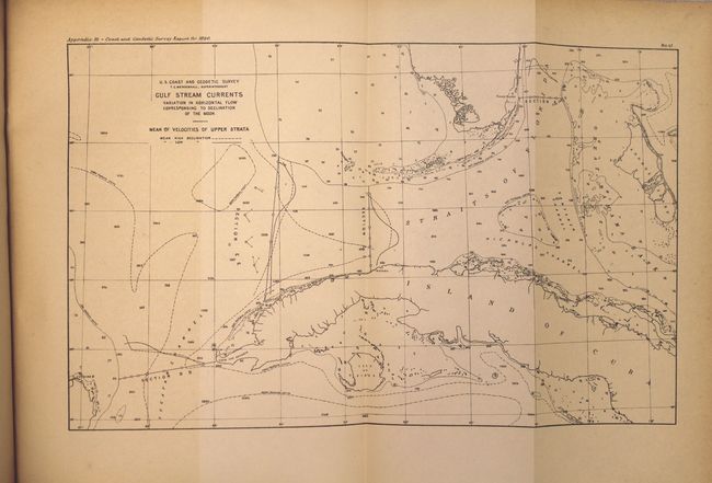
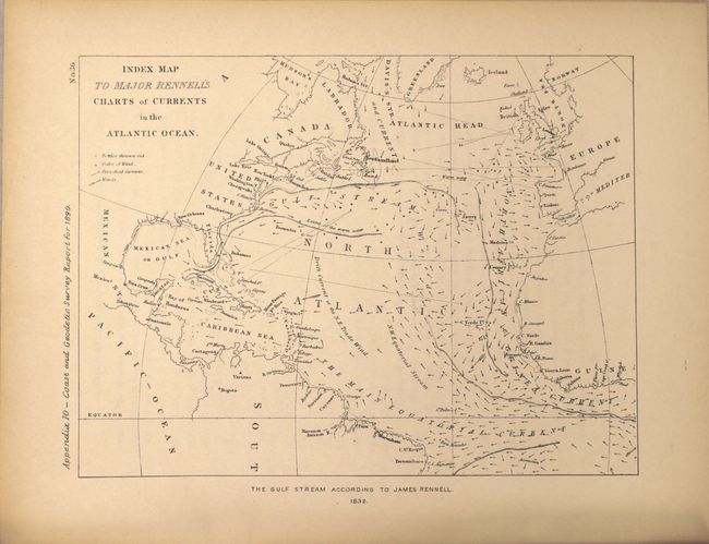
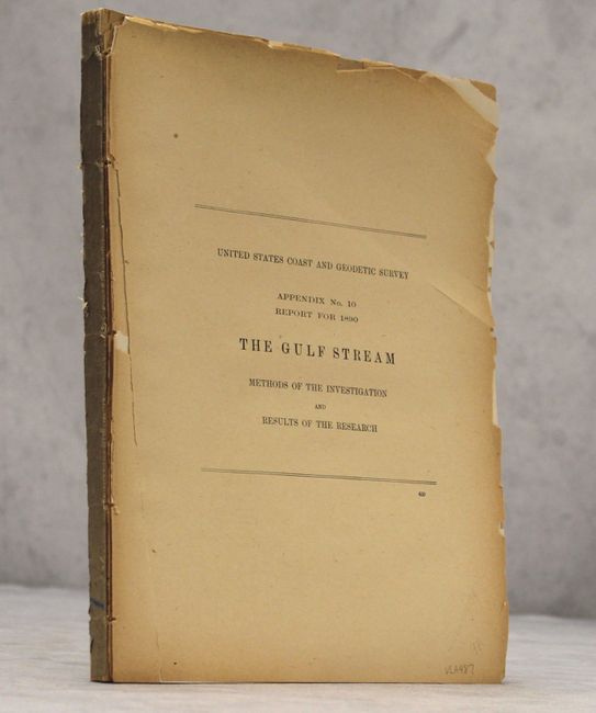
This disbound report is appendix no. 10-1890 with its pages ranging from 461 to 620. This is a terrific account of Lieutenant John Elliott Pillsbury's attempt to investigate the Gulf Stream using an instrument he had invented in 1876. Pillsbury was assigned by the Coast and Geodetic Survey to determine the Gulf Stream's depth, velocity, temperature, location and direction. The first two chapters of the report are dedicated to the history of Gulf Stream exploration, covering the roles of such men as Athanasius Kircher, Christopher Columbus, Ponce de Leon, Benjamin Franklin, and William Strickland. The report contains over 20 maps and charts, including reproductions of antique maps depicting the Gulf Stream.
References:
Condition: B+
Condition grade is for the maps and charts, which are in very good to near fine condition, with occasional light toning. The text has light to moderate toning, and has begun to chip at the extremities with a few tears. The first few pages have become detached.