NO RESERVE
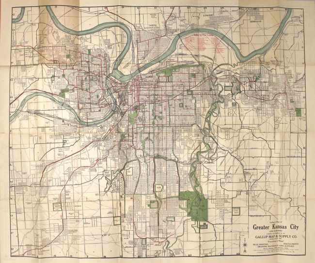
"Gallup's Map of Greater Kansas City and Suburbs", Gallup, F.E.
Subject: Kansas City, Missouri
Period: 1922 (circa)
Publication:
Color: Printed Color
Size:
31.5 x 26.4 inches
80 x 67.1 cm
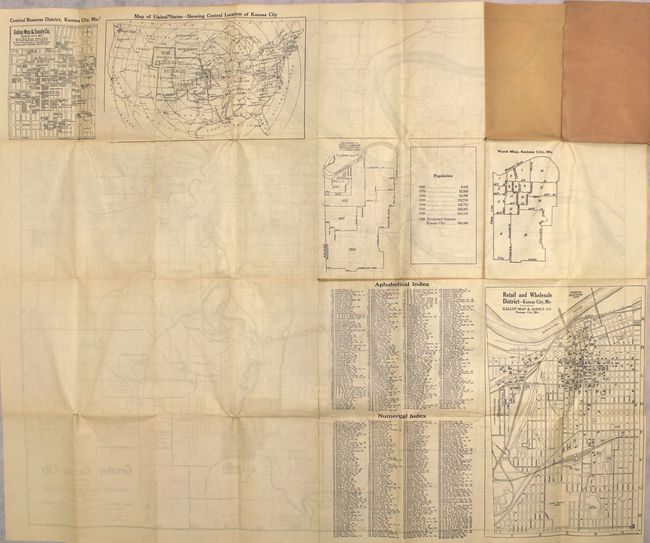
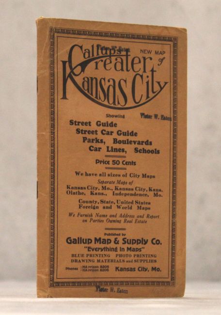
This detailed map of Kansas City shows the street-grid pattern with concentric circles radiating out from downtown displaying various distances from Union Station. 48 different street car lines are shown in red overprinting and are keyed to a table at top. Includes several smaller, related maps on verso. Folds into tan paper wrappers with a 16 pp. index.
References: Rumsey #3377.
Condition: B+
Issued folding with several short splits at fold intersections, a bit of toning from where the map folds into the wrappers, and one short edge tear at top that extends 0.5" into the image.