Catalog Archive
Auction 158, Lot 143
NO RESERVE
"Gallup's Map of Greater Kansas City and Suburbs", Gallup, F.E.
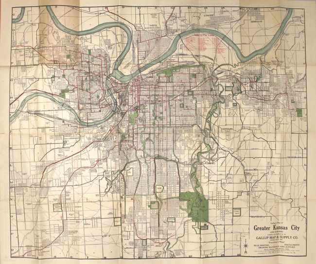
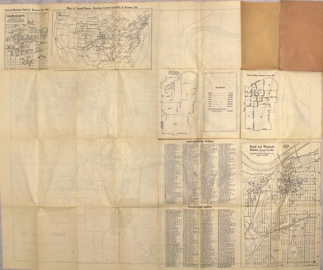
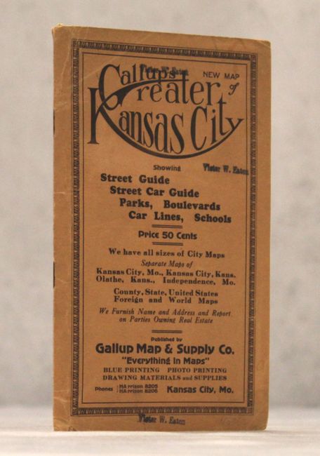
Subject: Kansas City, Missouri
Period: 1922 (circa)
Publication:
Color: Printed Color
Size:
31.5 x 26.4 inches
80 x 67.1 cm
Download High Resolution Image
(or just click on image to launch the Zoom viewer)
(or just click on image to launch the Zoom viewer)