Subject: Atlases
Period: 1857 (published)
Publication:
Color: Hand Color
Size:
15 x 18 inches
38.1 x 45.7 cm
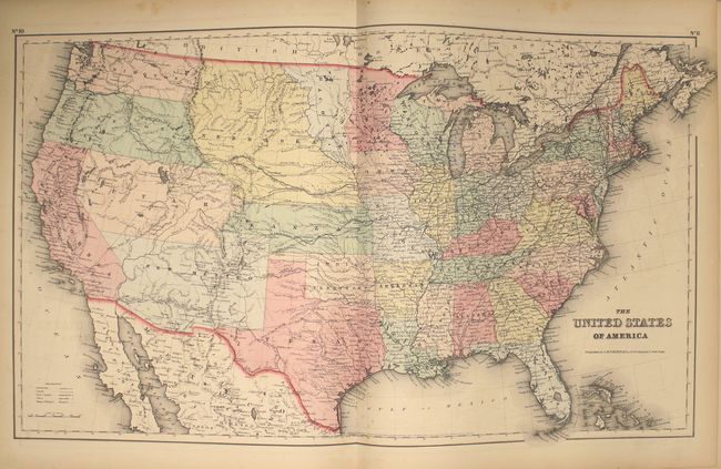
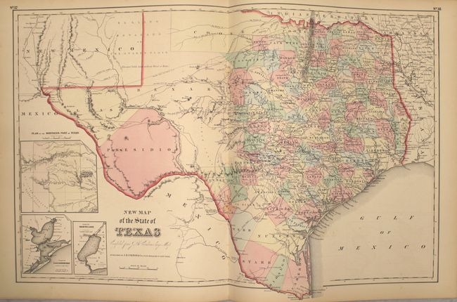
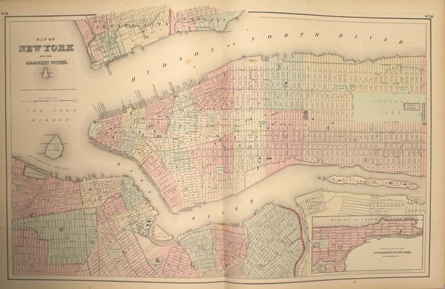
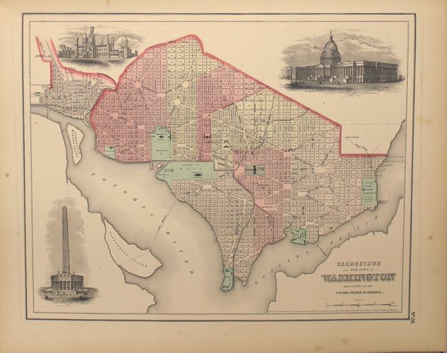
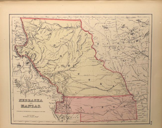
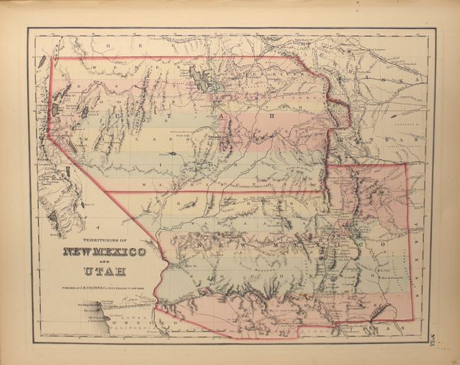
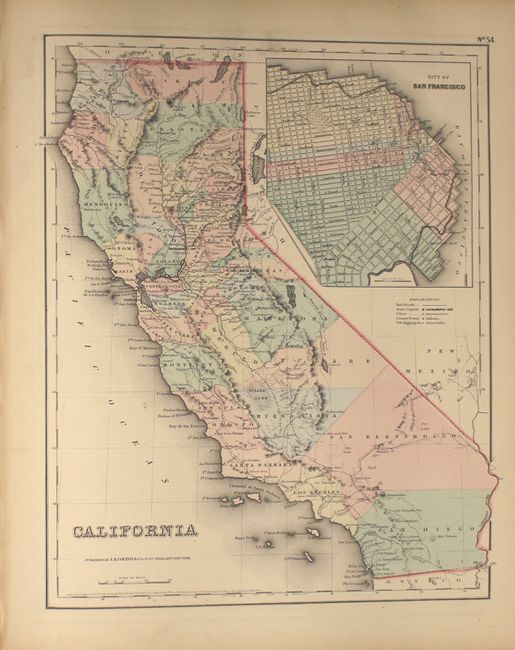
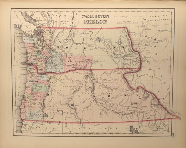
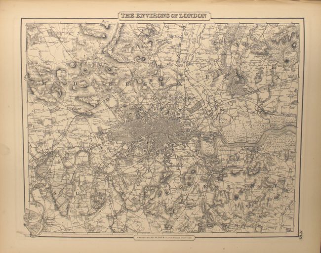
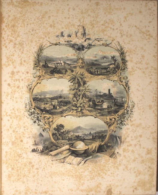
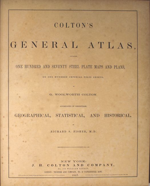
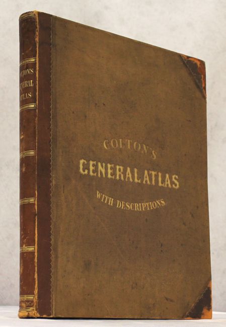
Colton's massive single-volume General Atlas is considered by many to be the pinnacle of American cartography in the latter part of the 19th Century. It contains 100 steel engraved maps, including 10 double-page sheets, plus the frontispiece. It includes the desirable Territories of New Mexico and Utah depicting the region with the largest configurations of the Utah and New Mexico territories. Other important state maps featured in this atlas are the double-page editions of Kansas and Nebraska, which shows little development in the western reaches of each state; Washington & Oregon, which shows Washington Territory encompassing the region that would become Idaho; and nice maps of Texas and California. A pair of fine city plans are the single-page, uncolored Environs of London and Environs of Paris. The lovely engraved frontispiece features eight vignettes of places around the world and a world globe at the bottom with other scholarly tools. Hardbound in quarter leather with tips over tan cloth-covered boards with gilt titling. The atlas is complete and sound with frontispiece, title page, list of maps, text and maps.
References:
Condition: B+
Condition code is for the maps which are overall very good with light toning and occasional small stains and/or light foxing with no edge tears or separations. The frontispiece, title page, and table of contents are foxed and toned as is typically seen. Externally good with some rubbing especially at the corners with light staining and soiling. Hinges are starting but still intact.