Subject: England
Period: 1720 (circa)
Publication: Britannia Depicta...
Color: Hand Color
Size:
7.6 x 5.8 inches
19.3 x 14.7 cm
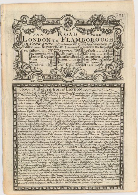
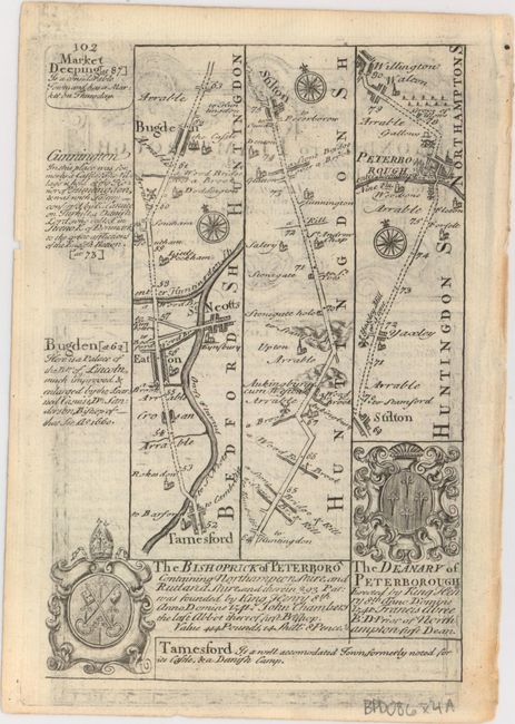
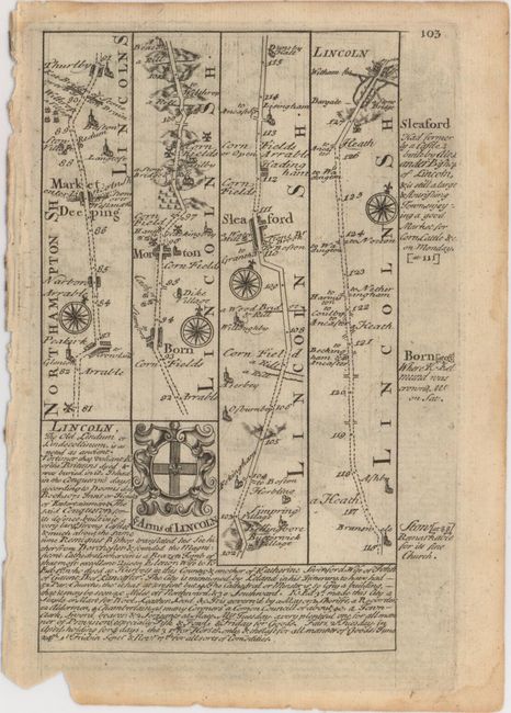
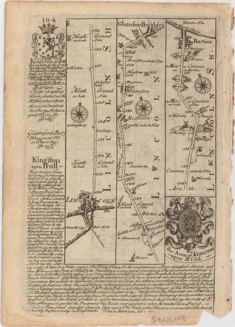
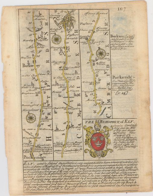
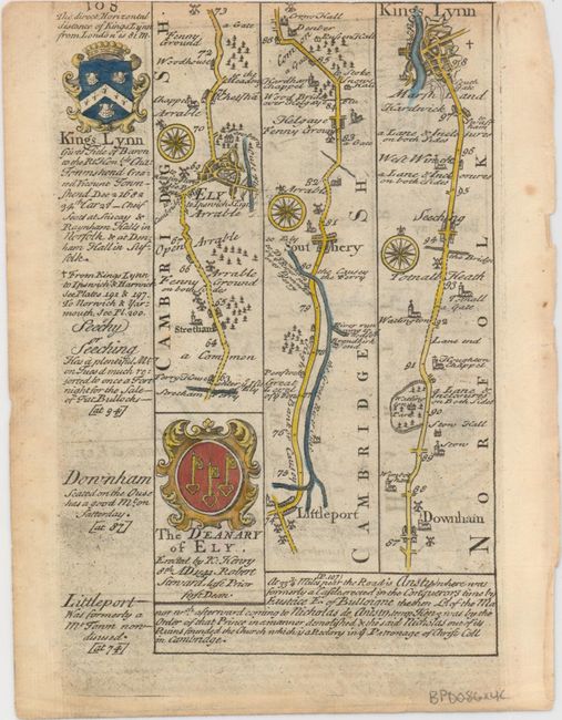
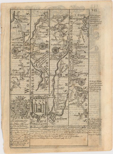
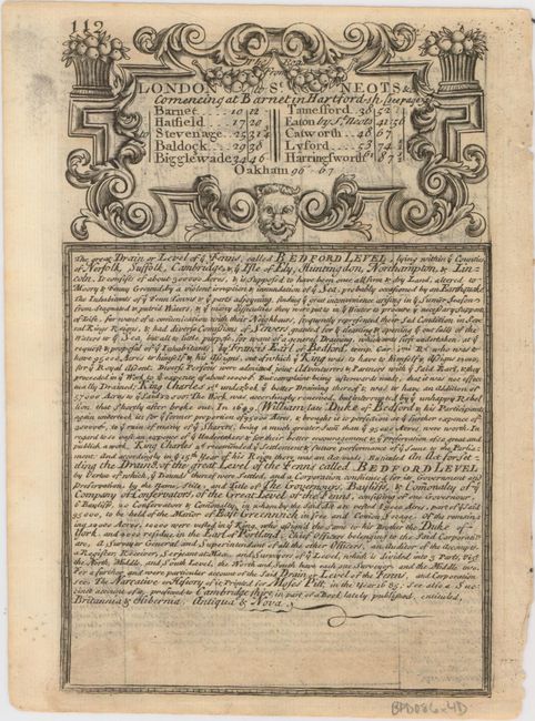
This lot of copper engraved, Ogilby-style strip road maps includes coats-of-arms and descriptive text by John Owen. The first two sheets feature four of the five pages of the series The Road from London to Flamborough..., including the elaborate title cartouche, a portion of Owen's text on London, and a road map that passes through Bedfordshire, Cambridgeshire, Northamptonshire, and Lincolnshire, ending in the town of Barton-upon-Humber. The road map on the third sheet extends from Puckeridge in East Hertfordshire to King's Lynn, traveling through Cambridge and Ely on the way. The fourth sheet consists of the final page in the series The Road from London to Montgomery Commencing at 4 Shire Stone... and the title for The Road from London to St. Neots &c Comencing at Barnet... along with Owen's text on Bedford Level. On the recto, the road map covers portions of Worcestershire, Shropshire, and the Welsh county of Montgomeryshire. Size varies slightly.
A. [The Road from London to Flamborough...], black & white.
B. [The Road from London to Flamborough...], black & white.
C. [The Road from London to Kings Lyn... // A Map of Cambridgeshire], hand color.
D. [The Road from London to Montgomery Commencing at 4 Shire Stone... // Merionethshire] [on verso] [The Road from London to St. Neots &c Comencing at Barnet...], black & white.
References: Shirley (BL Atlases) T.BOW-1a.
Condition: A
Nice impressions on watermarked paper with minor show-through of text on verso and occasional unobtrusive soiling.