Catalog Archive
Auction 155, Lot 619

"Corea and Japan", Thomson, John
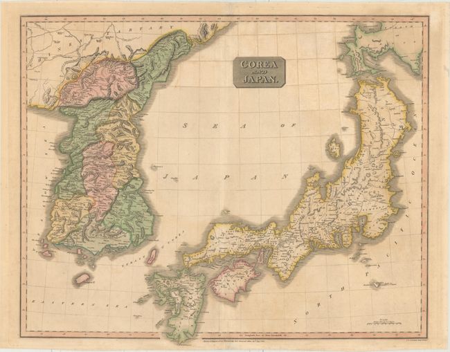
Subject: Japan & Korea

Period: 1815 (dated)

Publication: New General Atlas

Color: Hand Color

Size:
24.6 x 19.9 inches
62.5 x 50.5 cm
Download High Resolution Image
(or just click on image to launch the Zoom viewer)

A lovely map of Japan and Korea showing the discoveries of Broughton and Krusenstern who traveled in the region in 1796-97 and 1805-11, respectively. In Japan, Kyrushu, Shikoku, and Awajishima are significantly more correct than earlier maps. Nicely detailed with regions delineated, it shows towns, roads, rivers, lakes and mountains.

References: Walter #128.

Condition: B

Original color with overall toning and an archivally repaired tear that enters 1/2" into map at bottom.

Estimate: $200 - $230

Sold for: $150

Closed on 11/18/2015

Archived