Catalog Archive
Auction 155, Lot 617

"Map of China Compiled from Original Surveys & Sketches", Wyld, James

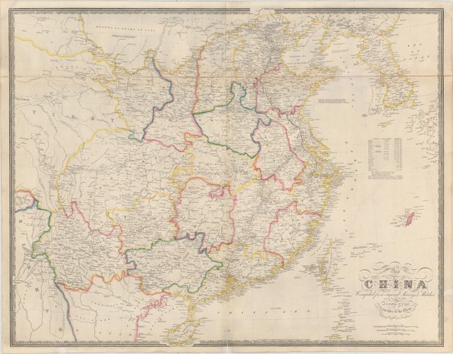
Subject: China & Korea

Period: 1853 (dated)

Publication: A New General Atlas of Modern Geography

Color: Hand Color

Size:
31.2 x 24.3 inches
79.2 x 61.7 cm
Download High Resolution Image
(or just click on image to launch the Zoom viewer)

This large-scale map of China, Korea and Formosa is filled with detail, including notes identifying mines, forests, mineral resources, and the culture and achievements of the Chinese. A table provides information on each province including size and population. The Great Wall and the Imperial Canal are depicted. The title is in elegant calligraphy and the map is surrounded by a bold keyboard-style border. On two sheets dissected and joined with linen.

References: Phillips (A) #808.

Condition: B+

There are a few archival repairs and faint discoloration along the centerfold and the joint.

Estimate: $475 - $600

Sold for: $350

Closed on 11/18/2015

Archived