Catalog Archive
Auction 155, Lot 472
"Carte Nouvelle de la France, pour les Premieres Etudes: Dirigee par Mr. Philippe...", Philippe De Pretot, Etienne Andre
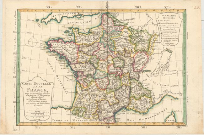
Subject: France
Period: 1765 (dated)
Publication: Atlas Universel
Color: Hand Color
Size:
15.1 x 11.4 inches
38.4 x 29 cm
Download High Resolution Image
(or just click on image to launch the Zoom viewer)
(or just click on image to launch the Zoom viewer)