Subject: Venezuela
Period: 1707 (dated)
Publication:
Color: Black & White
Size:
8.6 x 5.8 inches
21.8 x 14.7 cm
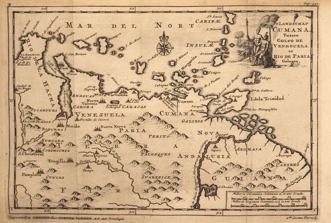
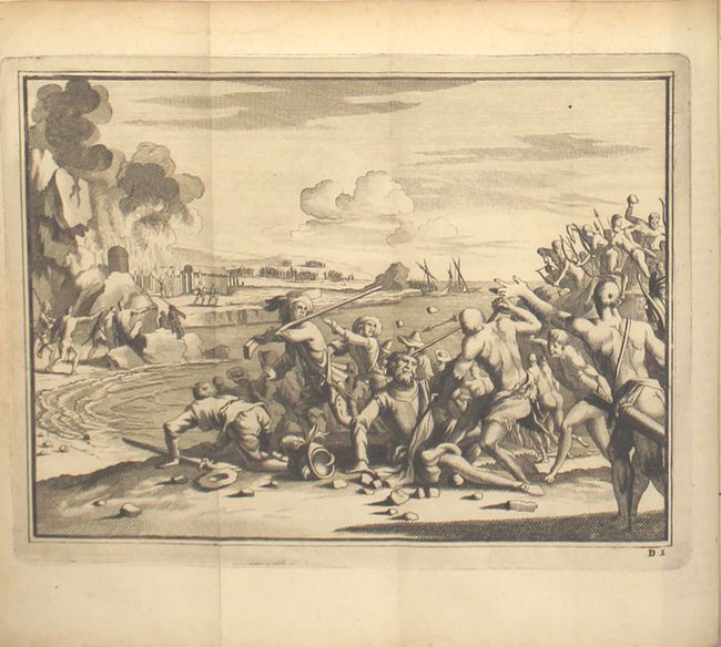
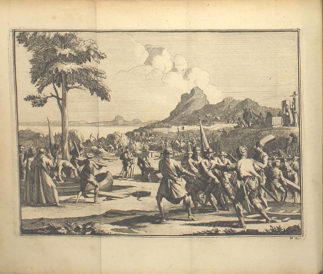
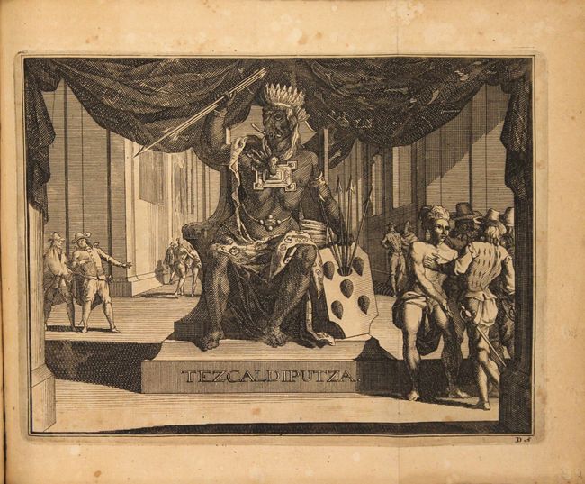
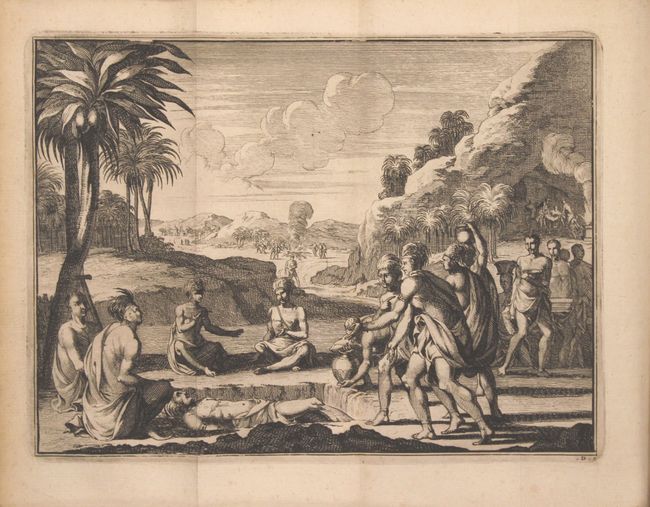
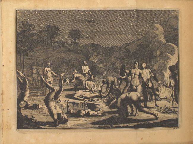
Interesting Dutch account of Spanish and Portuguese colonial establishment in Mexico, Central America, and South America with one map and 13 beautifully engraved views. The book includes the account of the explorer Hernan Cortes, a Spanish Conquistador who conquered Mexico circa 1520 and caused the fall of the Aztec Empire, as well as Gil Gonzalez Davila and Estevao Gomes. The text is illustrated with views of native ceremonies, encounters between the Spanish and Native Americans, and canoe building. The finely engraved map of Venezuela extends east past the Orinoco River to the Essequibo River, and locates key cities, including San Cristobal, Merida, and Cumana. The ABC Islands and the Windward Islands are shown up to St. Lucia. The map depicts the region traveled by Cortes. Decorated with a compass rose and title cartouche featuring natives and indigenous animals. The book contains 418 pages with a 26-page Register in the back. A secondary title page appears directly after the first: Verfolg der Roemwaardige Zee-en Land-Reysen des Dapperen Ferdinand Cortes; aan de Vaste Kust van Mexico en Nieuw-Spaanje... Rebound in marbled paper (19th century), lacking covers.
References:
Condition: A
The map has minor offsetting and toning and a couple of extraneous creases. The plates are mostly clean and bright, a few with light toning. The text is also clean and bright, and the wrappers are lightly worn.