Catalog Archive
Auction 155, Lot 260

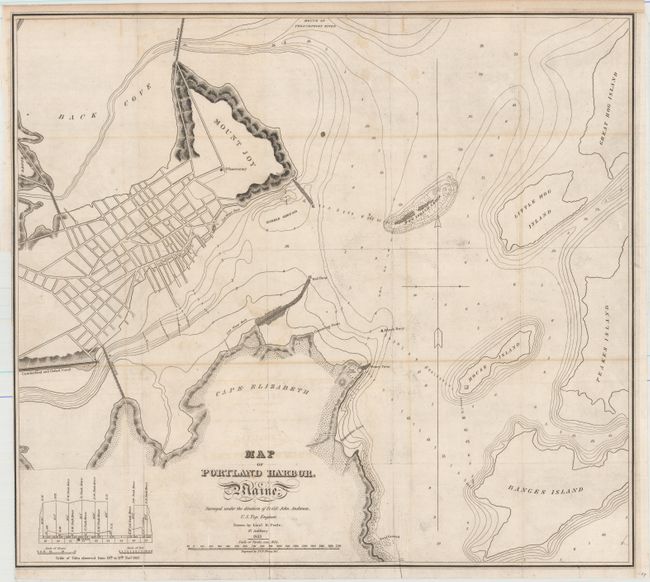
"Map of Portland Harbor. Maine. Surveyed Under the Direction of Lt: Col: John Anderson, U.S. Top: Engineer...", Anderson, John (Lt. Col.)

Subject: Portland, Maine

Period: 1833 (dated)

Publication:

Color: Black & White

Size:
20 x 18 inches
50.8 x 45.7 cm
Download High Resolution Image
(or just click on image to launch the Zoom viewer)

An early and nicely detailed examination of Portland Harbor surveyed under the direction of Lt. Col. John Anderson. Drawn by Lt. B. Poole and engraved by J. V. N. Throop. It shows the town grid for Portland and also identifies Mount Joy, Cumberland, Oxford Canal and Cape Elizabeth. Includes various geographical points, coves, ledges, islands, etc. Names the Cumberland and Oxford Canal, the Observatory on Mount Joy, Fort Preble at Stoney Point, and more. An uncommon issue.

References: Phillips (Maps) p. 717.

Condition: B+

Issued folding and now flattened and backed with tissue. Light offsetting.

Estimate: $140 - $170

Sold for: $190

Closed on 11/18/2015

Archived