Catalog Archive
Auction 155, Lot 246

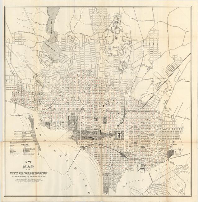
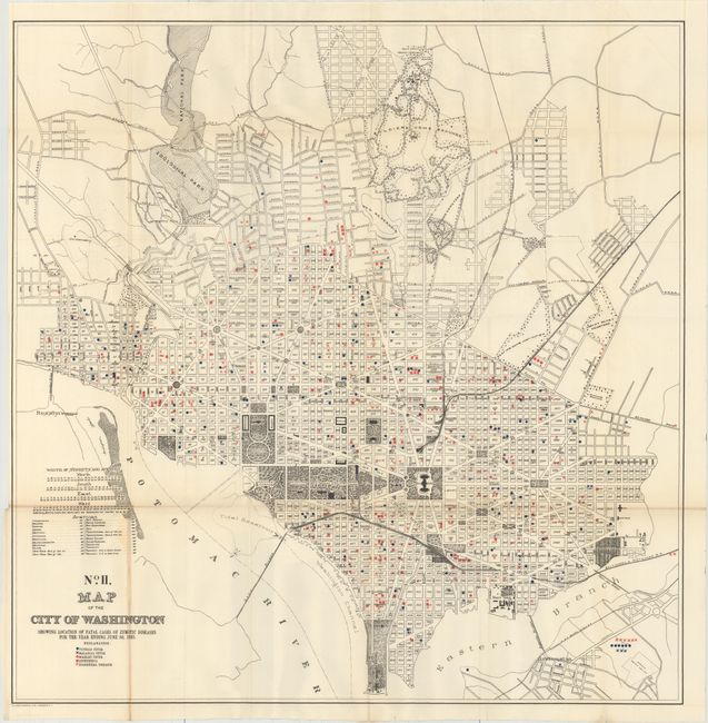
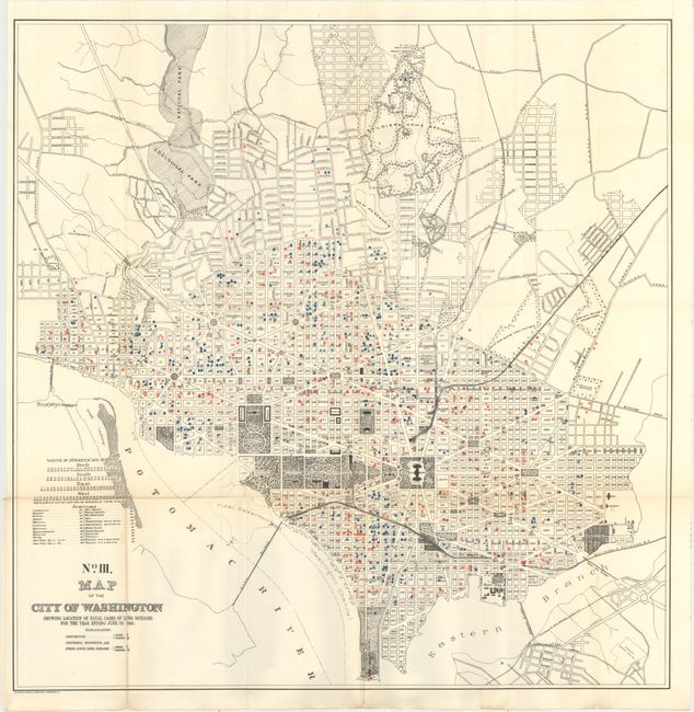
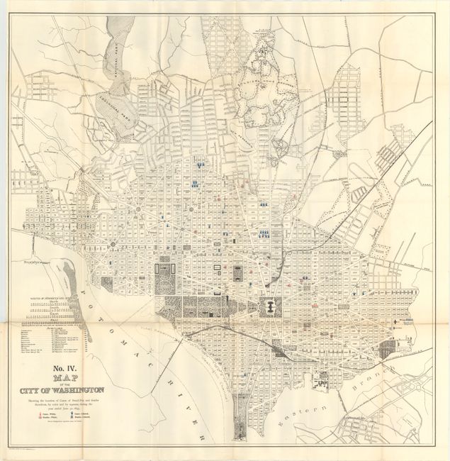
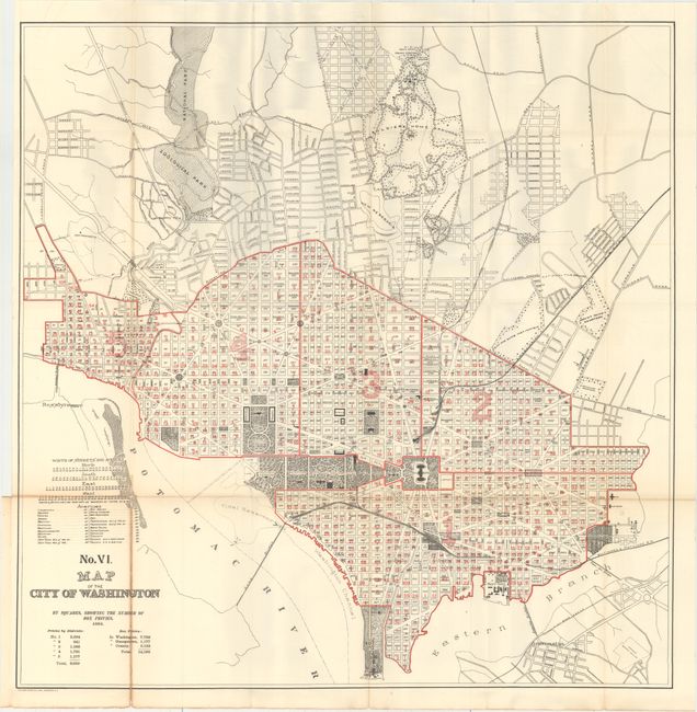
"[Lot of 5] No. I. Map of the City of Washington Location of Deaths... [and] No. II ... Location of Fatal Cases of Zymotic Diseases... [and] No. III ... Fatal Cases of Lung Diseases [and] No. IV ... Cases of Small-Pox... [and] No. VI ... Box Privies", U.S. Gov't Printing Office

Subject: Washington, D.C.

Period: 1895 (dated)

Publication: Annual Report of the Commissioners of the District of Columbia

Color: Printed Color

Size:
28 x 28.2 inches
71.1 x 71.6 cm
Download High Resolution Image
(or just click on image to launch the Zoom viewer)

These thematic maps show the numbers of deaths within each city block from such illnesses as Lung Disease, Scarlet Fever, Typhoid Fever and Small Pox. The number of deaths between the races is shown in different colors as described on the first sheet: "Combined Numbers Show Total Deaths on Each Square. Deaths of White Persons are Indicated by Numbers in Red. Those of Colored Persons by numbers in Blue." Also included is a map showing the location of various "box privies." Apart from the grim statistics, these maps present fine detail along the Mall and the beginning subdivisions in the open spaces to the north. Each uses the same base map.

References:

Condition: B+

Issued folding with light toning along the folds and several short fold separations that have been closed on verso with archival material.

Estimate: $200 - $250

Sold for: $150

Closed on 11/18/2015

Archived