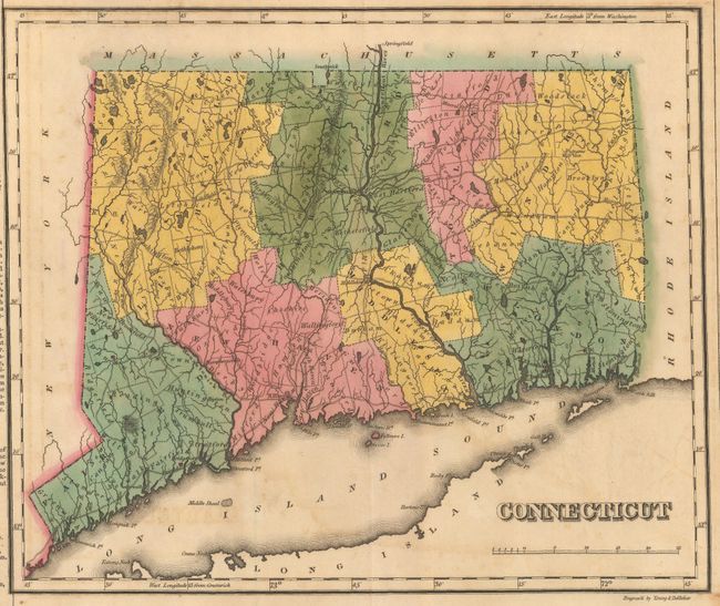
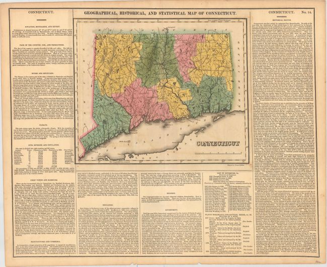
Subject: Connecticut
Period: 1822 (circa)
Publication: A Complete Historical, Chronological, and Geographical American Atlas...
Color: Hand Color
Size:
11.7 x 9.7 inches
29.7 x 24.6 cm
This map was finely engraved by Young & Delleker. It shows the state with a population of only 275,000 as compared to today's number of nearly 3.6 million. Eight counties are named and there is a good network of wagon roads. Norwalk, Fairfield, New Haven, New London, Fort Trumbull and Mystic are marked with flags to indicate "places remarkable for battles, sieges, &c." The map is on a full folio sheet (22.1 x 17.8") and flanked with English text giving a brief description of the state’s boundaries, productions, rivers, climate, chief towns, commerce, education, and religion.
References:
Condition: B+
Original color with light toning and offsetting, and a 2" centerfold separation at bottom confined to the descriptive text.