Catalog Archive
Auction 155, Lot 204

"[Lot of 3] A New Map of Alabama with Its Roads & Distances... [and] A New Map of Arkansas with Its Canals, Roads & Distances [and] A New Map of Ohio with Its Canals Roads & Distances", Tanner, Henry Schenck

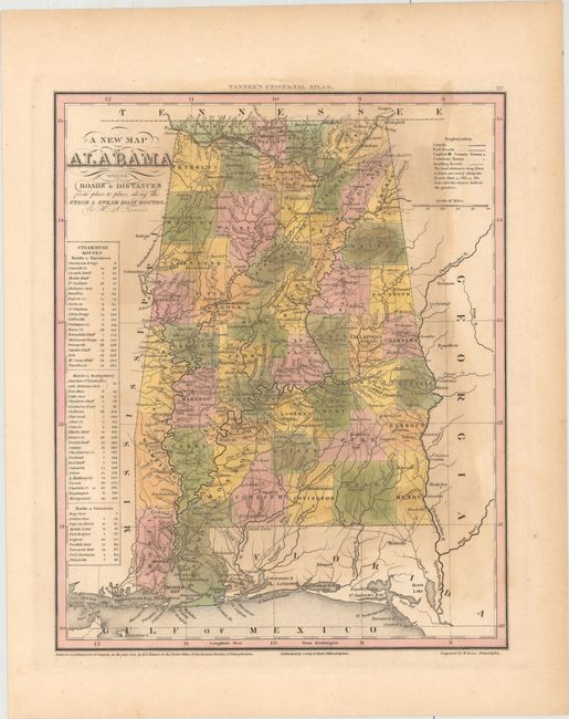
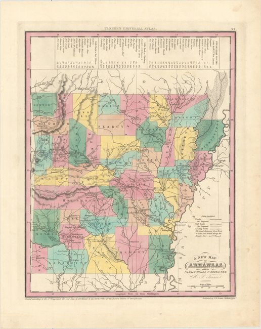
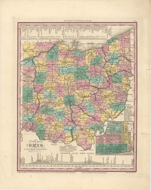
Subject: Alabama, Arkansas, Ohio

Period: 1841 (dated)

Publication: Universal Atlas

Color: Hand Color

Size:
10.7 x 13.1 inches
27.2 x 33.3 cm
Download High Resolution Image
(or just click on image to launch the Zoom viewer)

This attractive lot features three state maps from Tanner’s Universal Atlas, twenty years before the Civil War. Each of the maps is hand colored to show county configurations with legends noting the steamboat routes and distances. Railroads and canals are also depicted. Size varies slightly.

A. A New Map of Alabama with Its Roads & Distances... Condition: Light toning in the image. (B)

B. A New Map of Arkansas with Its Canals, Roads & Distances. Condition: A nice impression on a clean sheet. (A)

C. A New Map of Ohio with Its Canals Roads & Distances. Condition: A nice impression with two closed edge tears at right and minor soiling confined to the blank margins. (A)

References:

Condition:

See description above.

Estimate: $250 - $325

Sold for: $140

Closed on 11/18/2015

Archived