Subject: Colonial Eastern United States & Canada
Period: 1779 (dated)
Publication:
Color: Hand Color
Size:
19.8 x 26.3 inches
50.3 x 66.8 cm
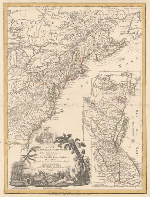
This is a very scarce American Revolutionary War map. It covers the region from Newfoundland to northern Florida, but only as far west as Lake Michigan. There is a large inset of part of New England and New York, eastern Pennsylvania and all of New Jersey that features the region most affected by the Revolution in 1779. The map is filled with topographical information, boundaries, cities, towns, forts, Indian territory and villages, battlefields, trails and roads. The large title cartouche includes a battle scene and the personification of America as an Indian queen. The map was separately published by Basset.
References: McCorkle #779.6; cf. Nebenzahl (Biblio) #192; Sellers & van Ee #737.
Condition: B+
Printed on sturdy paper with wide original margins and original outline color. The centerfold has been professionally repaired on verso and there are additional professional repairs to some tears confined to the blank margins. There are a couple minor spots, else very good.