Catalog Archive
Auction 153, Lot 556

"Partie Meridionale du Cercle d'Autriche, qui Comprend la Basse Partie du Duche de Stirie, le Duche de Carinthie, Divise en Haute et Basse...", Robert de Vaugondy, Didier

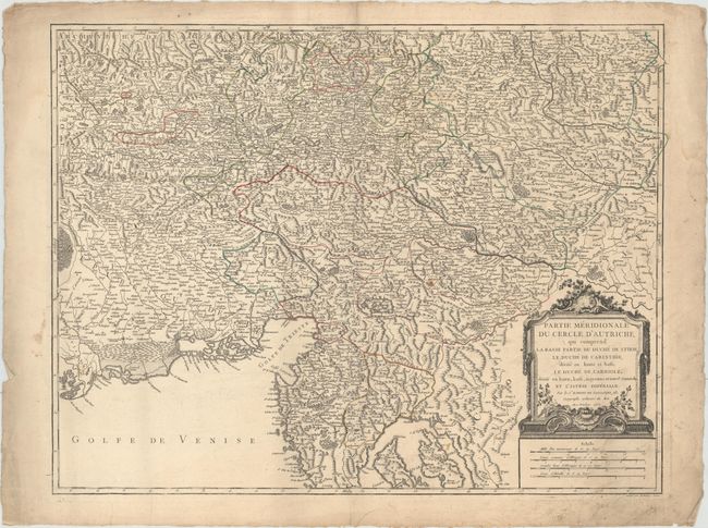
Subject: Slovenia, Northeastern Italy, & Western Croatia

Period: 1752 (dated)

Publication: Atlas Universel

Color: Hand Color

Size:
24.4 x 18.8 inches
62 x 47.8 cm
Download High Resolution Image
(or just click on image to launch the Zoom viewer)

Very detailed sheet that is centered roughly on Trieste and extends north to Graz, west almost to Venice, and south to the Croatian islands of Cres and Krk. A handsome map with a decorative title cartouche and four distance scales. This is the first state. Engraved by Delahaye.

References: Pedley #278.

Condition: B+

Original outline color on watermarked paper with light soiling, a damp stain that just enters the neatline at top right, and an edge tear that enters 0.5" into image at bottom right that has been closed with archival tape. There are a few small chips and edge tears confined to the blank margins.

Estimate: $150 - $180

Unsold

Closed on 5/20/2015

Archived