Subject: Indian Ocean
Period: 1855-78 (circa)
Publication:
Color:
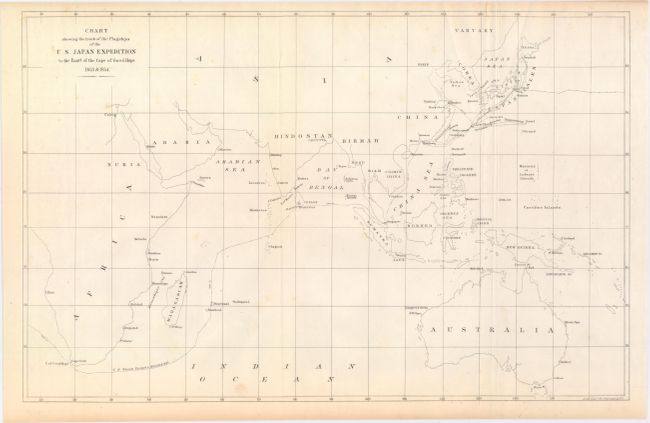
A. Chart Showing the Track of the Flagships of the U.S. Japan Expedition to the Eastd. of the Cape of Good Hope, by (Adm.) Matthew Perry, from Narrative of the Expedition of an American Squadron to the China Seas and Japan, circa 1856, black & white (16.3 x 10.4"). This chart tracks the course of Commodore Matthew Calbraith Perry on his 1852-53 expedition to Japan. It spans from southern Africa to east of Australia, covering the whole of the Indian Ocean. Perry's ship the Mississippi is specifically noted, and its course is traced from around the southern tip of Africa, through the Singapore Strait, and up the coast of eastern Asia to Japan. A few towns and cities are named along the coastlines, but for the most part the interiors of the continents are left blank. Numerous small islands are identified. Lithography by Ackerman. Condition: Issued folding with faint scattered foxing and toning along the edges of the sheet. (B+)
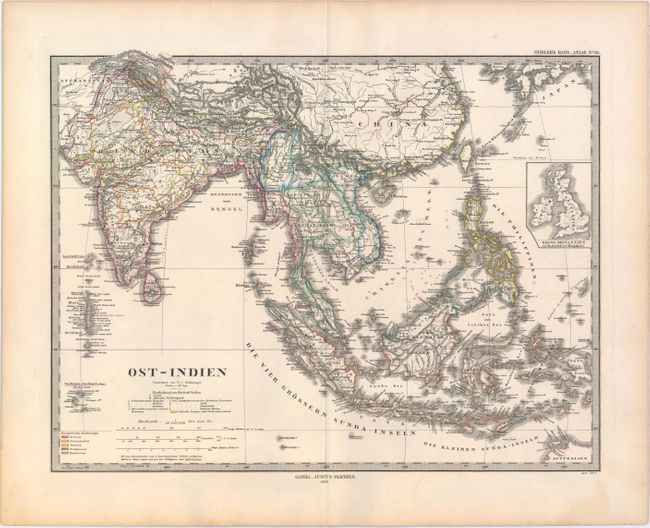
B. Ost-Indien, by Justus Perthes, from Stieler's Hand-Atlas, dated 1878, hand color (15.9 x 12.0"). This handsome and intricate steel-engraved chart prominently shows the East Indies, but extends to India and north to include all of the Philippines, Siam, and Burma. Part of northwestern Australia is visible in the bottom right corner. An inset of the British Isles provides a sense of scale. The chart is hand colored to indicate colonial control by Holland, France, England, Spain, and Portugal. Condition: A crisp impression on a sturdy sheet with original outline color and minor toning along the edges of the sheet. (A)
References:
Condition:
See description above.