Catalog Archive
Auction 150, Lot 123

"Partie de la Carte du Capitaine Cluny Auteur d'un Ouvrage Anglois Intitule American Traveller Publie a Londres en 1769", Robert de Vaugondy, Didier

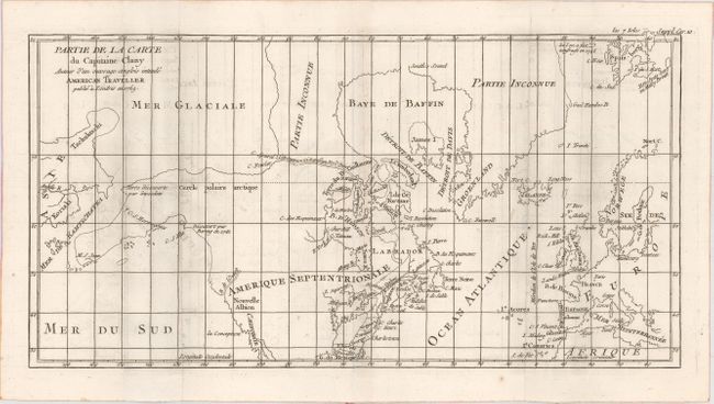
Subject: Colonial United States, Canada & Arctic

Period: 1769 (dated)

Publication: Diderot's Encyclopedia (Supplement)

Color: Black & White

Size:
16.2 x 8.5 inches
41.1 x 21.6 cm
Download High Resolution Image
(or just click on image to launch the Zoom viewer)

The Encyclopedie was published under the direction of Diderot from 1751 onward with thousands of articles written by the most prominent philosophers and scientists of the time. These great minds collaborated in the goal of assembling and disseminating the fruits of accumulated knowledge and learning. This massive reference work for the arts and sciences, served to propagate Enlightened ideas. Read a full description of this work and Diderot at Wikipedia.com.

While this fascinating map covers the Arctic from Asia through Europe, the focus of the map is on the North American Arctic region. The most important feature of the map is the early depiction of what is present-day Alaska, patterned after Muller's epic map of 1750 that was the first to show the Russian discoveries, also noted here. The peninsula is shown as an indistinct dashed line that extends out to M. S. Jean. Early explorations are noted: "Terre decouverte par Gwosdew (Gwosden)" and "Decouvert par Bering en 1741." A very interesting Northwest Passage is shown from Repulse Bay in the north part of Hudson Bay into the Arctic Ocean at Cape Fowler. The River of the West enters at about 45° with an uncertain course that is roughly aligned with the F. York river in the southwest of Hudson Bay, another allusion to the Northwest Passage.

References: Pedley #460; Wagner #637-10.

Condition: B+

Issued folding with light offsetting.

Estimate: $140 - $180

Sold for: $80

Closed on 9/17/2014

Archived