Subject: Northeastern Africa & Arabia
Period: 1787-89 (dated)
Publication: Allgemeiner Grosser Atlas
Color:
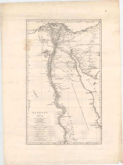
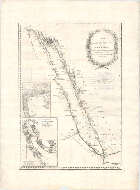
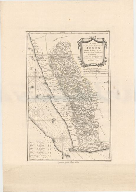
This lot includes three large maps that cover the region from Egypt south to Somalia as well as the western Arabian peninsula showing portions of Yemen and Saudi Arabia. The first two maps of Africa show very good detail along the Nile River and the coastline of the Red Sea and display the location of emerald mines, ancient ruins, and caravan routes. The map of Arabia shows excellent inland detail with very dense hachuring and is filled with place names. Each map is adorned by a decorative title cartouche and several distance scales. The maps are based upon D’Anville, Niebuhr, Irwin and Wussin.
A. Egypten oder Misir, dated 1787, black & white (16.1 x 26.1"). Condition: There are a few small rust stains and a light damp stain along the upper left border. (B+)
B. Karte des Arabischen Meerbusens oder des Rothen Meeres, dated 1787, hand color (18.7 x 26.5"). Condition: Scattered foxing. (B)
C. Karte von dem Groessten Theil des Landes Jemen Imame, Kaukeban &. &. Nach Astronomischen Beobacht Ungen, und Reisemaassen, dated 1789, hand color (14.6 x 22.4"). Condition: A few minor spots in the image, else very good. (B+)
References: Phillips (A) #694.
Condition:
Printed on heavy sheets with wide margins. See descriptions above for additional details.


