Subject: Peru and Paraguay
Period: 1756 (circa)
Publication: Prevost's Histoire Generale des Voyages
Color: Hand Color
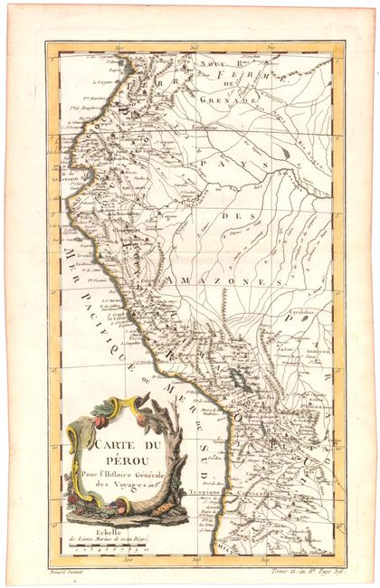
A. Carte du Perou pour l'Histoire Generale des Voyages (8.2 x 14.4"). A nice map of Peru showing the coast from the Baye de Buenaventura that extends south to the border with Chile. There is excellent detail along the coastline, and many rivers are identified inland. A decorative title cartouche adorns the map. Engraved by Benard. Condition: Issued folding, now pressed on watermarked paper with some minor offsetting.
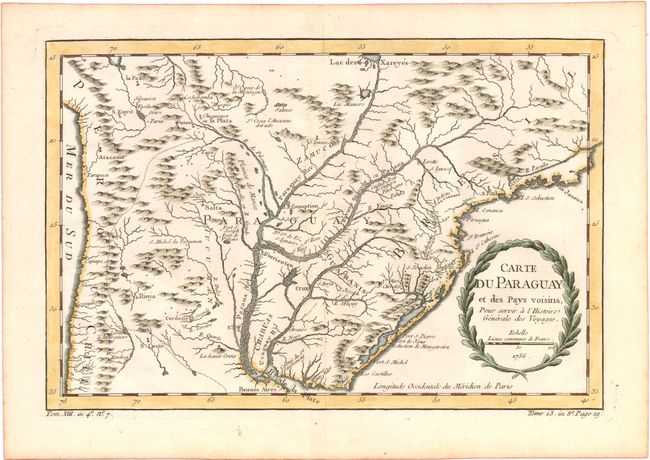
B. Carte du Paraguay et des Pays Voisins, pour Servir a l'Histoire Generale des Voyages, dated 1756 (12.3 x 8.2"). Detailed chart covering the region of northern Argentina with Paraguay, Uruguay, southern Brazil and part of Bolivia and Chile. The mythical Lac des Xareyes is shown as the source of the La Plata River at the top of the map, and Buenos Aires is shown at the bottom. The title is contained within a garland style cartouche. Condition: Watermarked paper with some faint toning.
References:
Condition: A
See description above.