Subject: World
Period: 1848 (circa)
Publication: A New Universal Atlas...
Color: Hand Color
Size:
10.7 x 11.5 inches
27.2 x 29.2 cm
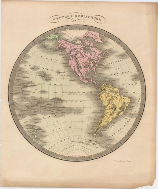
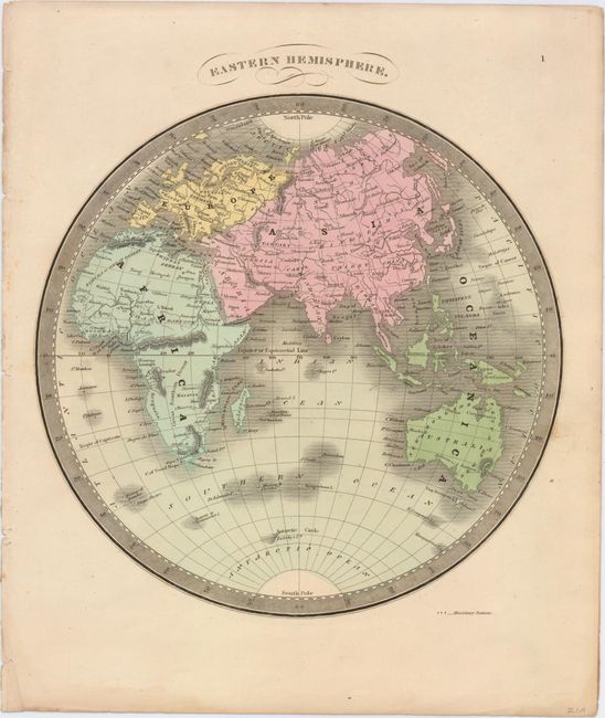
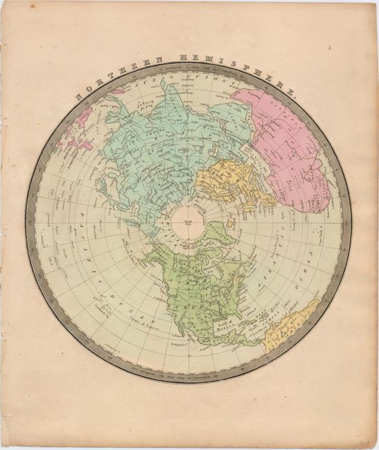
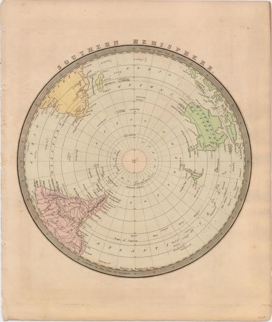
This handsome set of maps shows the world divided into four hemispheres. Countries, major cities, lakes, rivers, deserts, and mountains are identified, with different details emphasized on overlapping maps; for instance, Texas is named and mountains are depicted in the map of the western hemisphere, but not on the map of the northern hemisphere. The maps of the east and west point out missionary stations with small crosses. An unlabeled Great Wall of China snakes through on the map focused on the eastern hemisphere. Notes regarding the exploration of the Antarctic, such as Capt. Cook's farthest in 1774, appear on the map of the southern hemisphere. Size varies slightly.
References:
Condition: B+
All maps have light toning and a few spots of foxing. The map of the western hemisphere has two short edge tears and a chip out of the bottom right corner that have been archivally repaired, well away from the image.