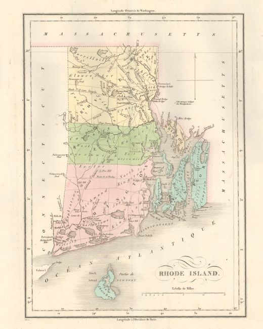
Subject: Rhode Island
Period: 1825 (published)
Publication: Atlas Geographique, Statistique, Historique...des Deux Ameriques
Color: Hand Color
Size:
8.3 x 11.3 inches
21.1 x 28.7 cm
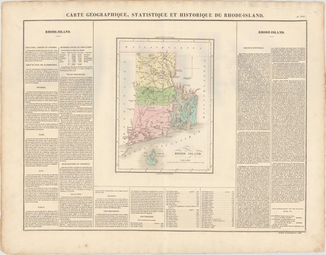
This attractive copper engraved map details counties, roads, and towns. The map extends to include Block Island. It is surrounded on three sides with French text describing the state, its history, commerce, manufacturing, education, religions, etc. A table lists all governors beginning with Benedict Arnold in 1663 to William C. Gibbs who began serving in 1821. The map was originally engraved by Young & Delleker in 1822. The size given is for the map only; including the surrounding text, it measures 23.8 x 18.3". Buchon produced the French edition of Carey & Lea's American Atlas. He used a better quality paper and today his maps are generally found in better condition than their American counterparts.
References: Phillips (A) #1176-17.
Condition: A
On sturdy paper with just a few faint spots.