Catalog Archive
Auction 148, Lot 283

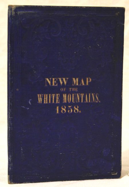
"Map of the White Mountains New Hampshire from Original Surveys", Boardman, Harvey

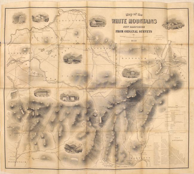
Subject: New Hampshire

Period: 1858 (dated)

Publication:

Color: Black & White

Size:
22.4 x 19.5 inches
56.9 x 49.5 cm
Download High Resolution Image
(or just click on image to launch the Zoom viewer)

This attractive map of the White Mountains contains images of 9 prominent houses and scenic views in the area including the Flume House, Profile House and a view at the top of Mt. Washington. Intended for the tourist, the map shows towns, roads, rivers and detailed topography by hachure. Two tables of distances are included at bottom right. Folds into blind stamped blue boards (3.8 x 5.6") with gilt title on the front cover, New Map of the White Mountains.

References:

Condition: B+

Issued folding with light toning and a few short splits at fold intersections.

Estimate: $400 - $500

Sold for: $300

Closed on 2/19/2014

Archived