Subject: New Hampshire
Period: 1823 (published)
Publication:
Color: Hand Color
Size:
9 x 11.9 inches
22.9 x 30.2 cm
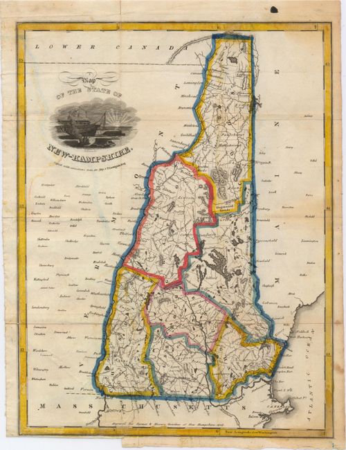
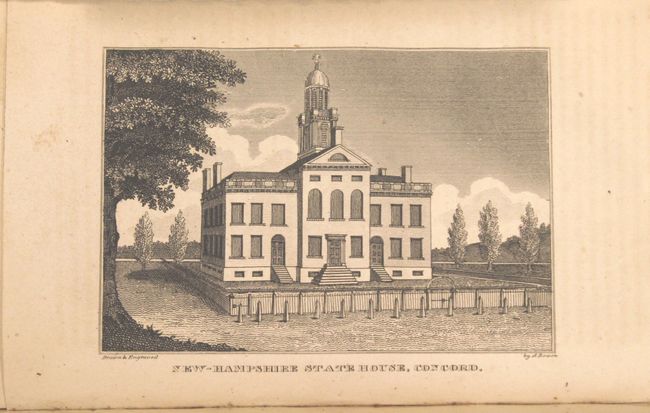
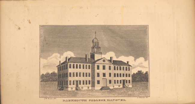
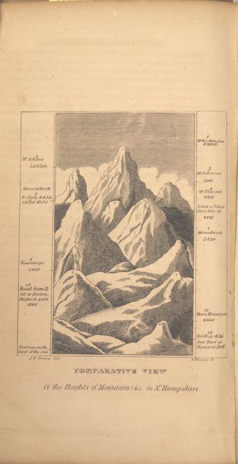
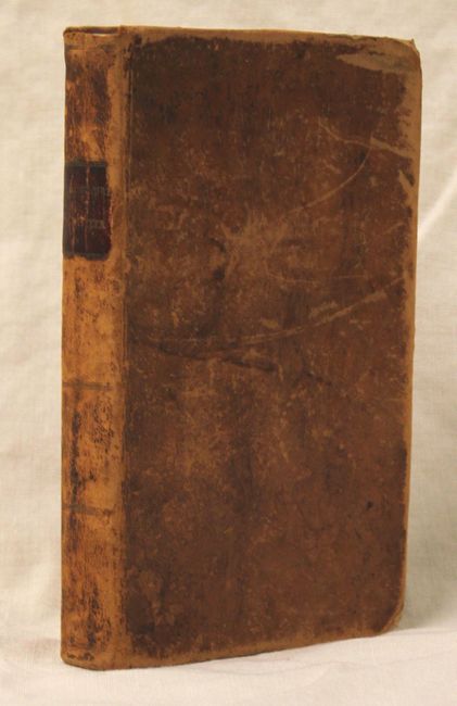
This early illustrated state gazetteer for New Hampshire is composed of eight plates and a folding map, as well as a geographical and statistical description of the state, distance tables, and notices of each town. The attractive colored map was engraved by Abel Bowen, and is entitled Map of the State of New Hamshire, copied with corrections from the map of P. Carrigain. The map shows counties, townships, roads, rivers and topography. The plates show the statehouse, Exeter Academy, a view of Portsmouth, the White Mountains, and an interesting comparative view of New Hampshire mountains. 276 pp., 12mo., hardbound in original full leather with gilt title on spine.
References:
Condition: B
The map, which is loose, is in good condition with some light color offsetting, a few small damp stains, and a binding trim and associated binding tear that enters 1" into the image at bottom closed on verso with archival tape. Contents are very good with light toning and the covers show moderate wear.