Catalog Archive
Auction 147, Lot 577

"Geographiae Sacrae ex Veteri, et Novo Testamento Desumptae Tabula in qua Terra Promissa, sive Iudaea in suas Tribus Partesq. Distincta", Sanson, Nicolas
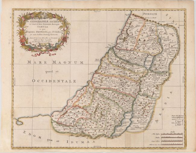
Subject: Holy Land

Period: 1700 (circa)

Publication:

Color: Hand Color

Size:
19.7 x 15.8 inches
50 x 40.1 cm
Download High Resolution Image
(or just click on image to launch the Zoom viewer)

A fine map illustrating the lands described in the Old and New Testament. The Kishon River connects the Mediterranean to the Sea of Galilee. The map provides good detail throughout and is adorned with a wreath-style title cartouche.

References: cf. Laor #691.

Condition: B+

Issued folding, now pressed on watermarked paper with a binding trim at bottom left that has been replaced and the margin at bottom extended, both of which have been done very skillfully. There is light discoloration along a 2" fold separation at bottom right that was previously closed with cello tape, which has since been entirely removed and professionally repaired.

Estimate: $200 - $230

Sold for: $150

Closed on 11/20/2013

Archived