Catalog Archive
Auction 147, Lot 423

"A New Map of the Baltick &c. Shewing All the Dominions About it, with ye Great or Post Roads and Principal Cross-Roads", Moll, Herman

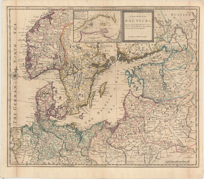
Subject: Northern Europe, Baltic Sea

Period: 1763 (circa)

Publication:

Color: Hand Color

Size:
24.2 x 20.2 inches
61.5 x 51.3 cm
Download High Resolution Image
(or just click on image to launch the Zoom viewer)

This attractive map of northern Europe is filled with details of towns, rivers, roads, and the topography of the land. Political boundaries are shown and postal routes are noted. An inset at top depicts the entrance to the Baltic Sea between Denmark and Sweden. Decorated by a compass rose with fleur-de-lis and simple block-style title cartouche.

References: Shirley (BL Atlases) T.MOLL-4d [15].

Condition: B

Issued folding with original outline color and a few small worm holes. The left and right folds are backed with tissue to reinforce and repair numerous separations, and there is light toning along the folds.

Estimate: $475 - $600

Unsold

Closed on 11/20/2013

Archived