Subject: United States & Mexico
Period: 1826 (published)
Publication:
Color: Black & White
Size:
3.5 x 5.5 inches
8.9 x 14 cm
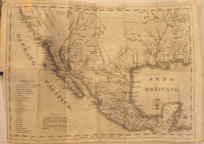
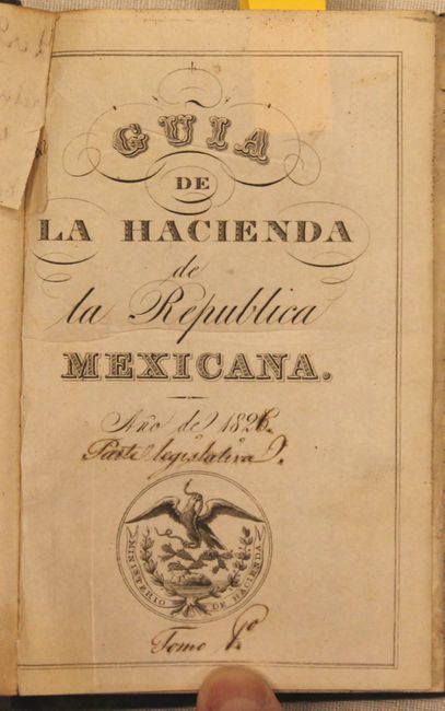
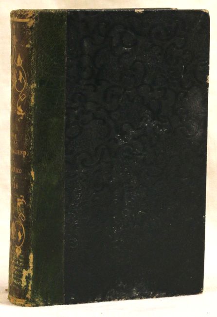
This fascinating book, by Jose Ignacio Esteva on behalf of the Mexican Ministry of Finance (Ministerio de Hacienda), explains all of the laws and regulations instated by the First Mexican Empire as of August 1823. The book features an untitled map (14.2 x 9.8") at the front, engraved by John Drayton, which clearly shows all of the US-Mexico border. The map extends north to 40 degrees latitude and east to the Florida panhandle and shows Mexico in control of the area around Texas extending to the Arkansas River. Twenty-one Mexican states and territories are identified with a numbered key at left, including the territories of California, New Mexico and Texas. Several unexplored areas around Arizona, southern California and central Texas are marked as Yndios Gentiles (Gentile Indians). There is very good detail of the river systems in the region, and numerous towns are named, including New Orleans, Cincinnati, Santa Fe, San Francisco, and San Diego. 309 pages plus 11 index pages. 24mo, quarter green leather with green embossed cloth-covered boards, and gilt titling on spine.
References:
Condition: B+
The map is printed on thin, bank-note style paper with a hint of toning and a few minor printer's creases and paper flaws. The text has occasional light toning, and the covers and spine show some wear.