Catalog Archive
Auction 145, Lot 103

"Carte de l'Amerique Septentrionale Dressee pour l'Intelligence de l'Histoire Generale des Voyages de Laharpe", Tardieu, Ambroise

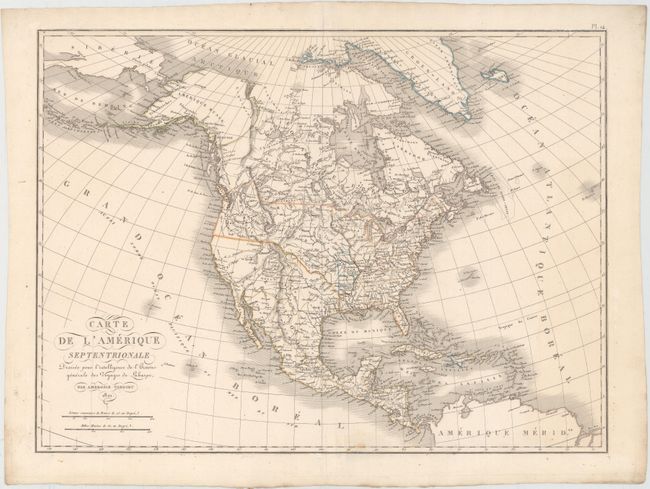
Subject: North America

Period: 1821 (dated)

Publication:

Color: Hand Color

Size:
21.2 x 15.7 inches
53.8 x 39.9 cm
Download High Resolution Image
(or just click on image to launch the Zoom viewer)

This is an interesting early 19th century map with good detail throughout and early territorial configurations. Just west of the Mississippi River are the districts of Howard, Girardeau, Lawrence, and Arkansas. These are remnants of French and Spanish divisions in what is present-day Missouri and Arkansas. The United States and Canadian boundary follows the U.S. claims into present-day British Columbia and Mexico controls all of California and the Southwest. The map is filled with place names, Indian tribes and much else of interest.

References:

Condition: A

A clean, bright example on watermarked paper with good margins.

Estimate: $275 - $350

Unsold

Closed on 6/12/2013

Archived