Subject: Egypt
Period: 1817-32 (circa)
Publication:
Color: Hand Color
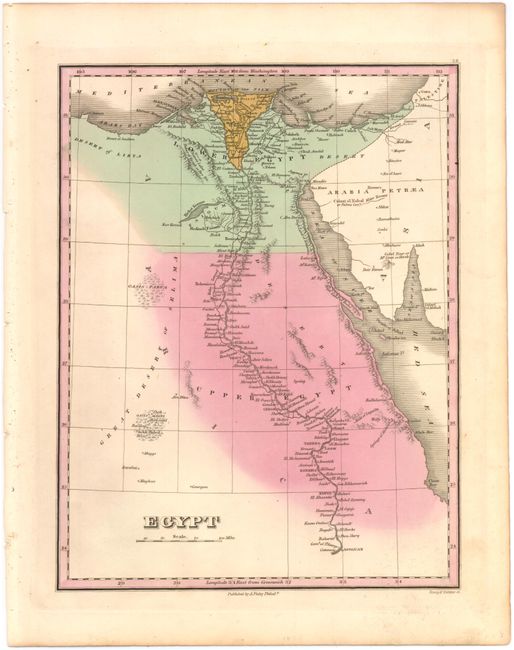
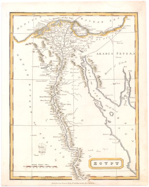
This lot of two maps shows Egypt with excellent detail of the Nile River from its mouth at the Mediterranean Sea to near Aswan in Upper Egypt. The maps identify many towns and settlements along the river's banks, and additionally show the location of the pyramids to the west of the Nile. The Great Desert of Selima, several oases, the Gulf of Suez, the Red Sea, and Arabia Petraea are included on both maps.
A. Egypt, by Anthony Finley, from New General Atlas, circa 1832 (8.7 x 11.3"). Engraved by Young & Delleker. Condition: On a full sheet with minor toning.
B. Egypt, by Thomas Kelly, from A New and Complete System of Geography, circa 1817 (7.3 x 9.5"). Condition: One small stain at bottom center and an archivally repaired 1" tear in bottom left corner.
References:
Condition: B+
See description above.