Catalog Archive
Auction 144, Lot 239

"Chine et Coree", Migeon, J.

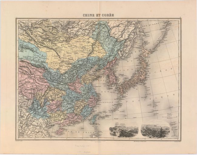
Subject: China, Korea & Japan

Period: 1892 (circa)

Publication: Nouvel Atlas Illustre Geographie Universelle

Color: Hand Color

Size:
16.7 x 12.3 inches
42.4 x 31.2 cm
Download High Resolution Image
(or just click on image to launch the Zoom viewer)

This very detailed map features China, Korea, Formosa (Taiwan), the Kuriles Islands, and Japan, including all the islands off Japan's eastern and southern coasts. The map labels hundreds of cities, towns, harbors, rivers, and mountains throughout and shows Canton and Hong Kong on China's southern coast. Two finely engraved vignettes of Peking (Beijing) and Tokyo are included in the bottom right corner.

References:

Condition: A

Original color, wide margins, and marginal soiling.

Estimate: $120 - $160

Unsold

Closed on 4/3/2013

Archived