Catalog Archive
Auction 144, Lot 213

"Carte de la Terre Sainte Divisee dans Toutes ses Parties Selon le Nombre des Tribus d'Israel...", Chatelain, Henry Abraham
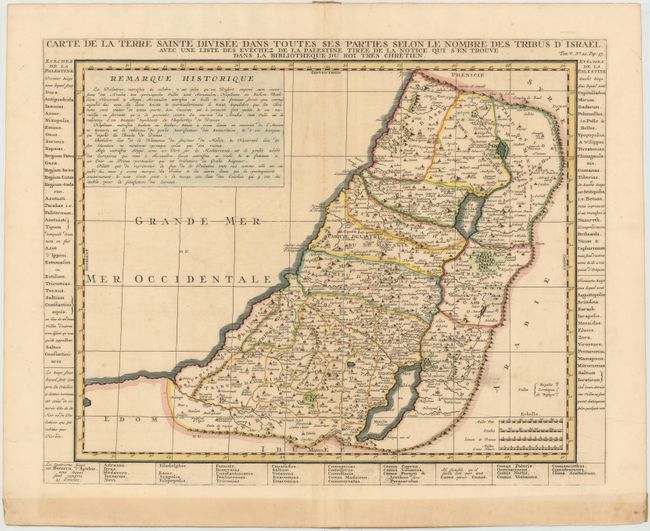
Subject: Holy Land

Period: 1719 (circa)

Publication: Atlas Historique…

Color: Hand Color

Size:
19.2 x 15.2 inches
48.8 x 38.6 cm
Download High Resolution Image
(or just click on image to launch the Zoom viewer)

Detailed map of the Holy Land based on the cartography of Nicolas Sanson. The region is divided according to the territories allotted to the twelve tribes of Israel. Panels of French text listing the bishoprics of Palestine surround the map.

References: Laor #213.

Condition: B+

A nice impression on watermarked paper with a few printer's creases at bottom, minor printer's ink residue, and a bit of toning along centerfold. There is paper tape on verso along centerfold and across bottom blank margin, which has caused some toning in bottom blank margin.

Estimate: $160 - $200

Sold for: $120

Closed on 4/3/2013

Archived