Subject: United States
Period: 1904 (dated)
Publication:
Color: Printed Color
Size:
10 x 6 inches
25.4 x 15.2 cm
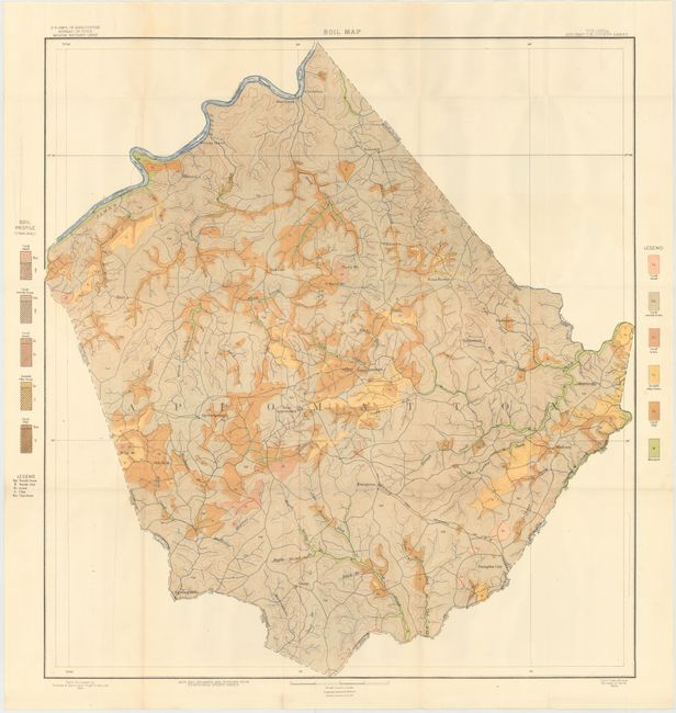
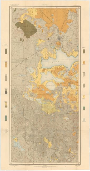
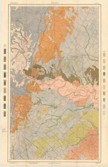
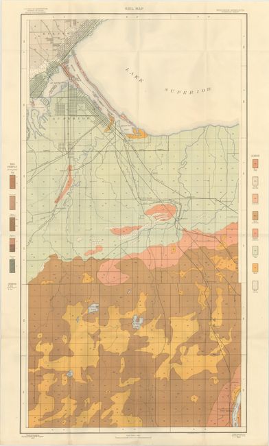
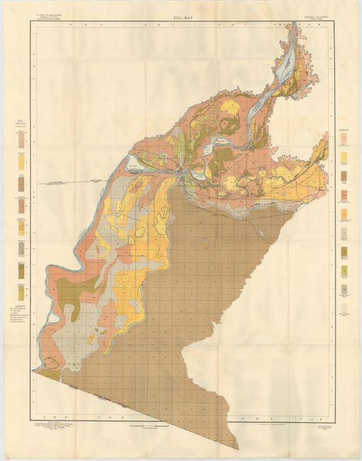
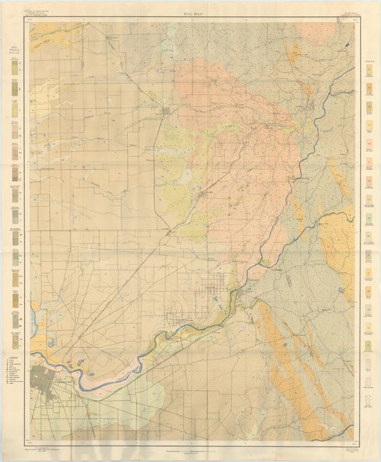
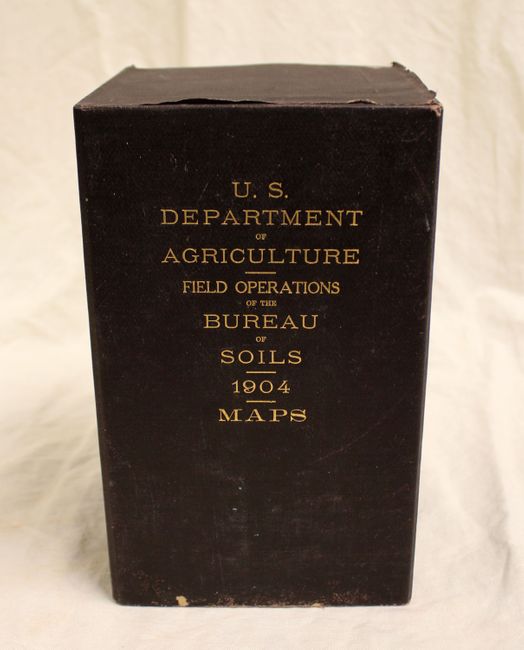
Housed in an attractive brown cloth case, this complete and very colorful lot of 53 soil maps comes from the sixth report of the Field Operations of the Bureau of Soils, under the direction of Milton Whitney. Each of the maps has a legend identifying the various soil profiles which are overlayed on base maps provided by the Geological Survey. In addition to the soil types, the maps depict roads, railroads, cities and towns, county boundaries and topography via contour lines. The maps highlight the soil survey work being done across the entire country including:
Providence Sheet, Rhode Island
Newport Sheet, Rhode Island
Vergennes Sheet, Vermont-New York
Auburn Sheet, New York
Adams County Sheet, Pennsylvania
Appomattox County Sheet, Virginia
Lancaster County Sheet, South Carolina
Orangeburg Sheet, South Carolina
Charleston Sheet, South Carolina
Dodge County Sheet, Georgia
Bainbridge Sheet, Georgia
Gainesville Sheet, Florida
Macon County Sheet, Alabama
Sumter County Sheet, Alabama
Jackson Sheet, Mississippi
Biloxi Sheet, Mississippi
De Soto Parish Sheet, Louisiana
Anderson County Sheet, Texas
Austin Sheet, Texas
San Antonio Sheet, Texas
Lawrence County Sheet, Tennessee
Greenville Sheet, Tennessee
Warren County Sheet, Kentucky
Wooster County Sheet, Ohio
Coshocton County Sheet, Ohio
Munising Sheet, Michigan
Saginaw Sheet, Michigan
Alma Sheet, Michigan
Owosso Sheet, Michigan
Marshall County Sheet, Indiana
Scott County Sheet, Indiana
Boonville Sheet, Indiana
Superior Sheet, Wisconsin-Minnesota
Tama County Sheet, Iowa
Saline County Sheet, Missouri
O'Fallon Sheet, Missouri-Illinois
Webster County Sheet, Missouri
Kearney Sheet, Nebraska
Lexington Sheet, Nebraska
Allen County Sheet, Kansas
Garden City Sheet, Kansas
Cando Sheet, North Dakota
Greeley Sheet, Colorado
[Lot of 3 - Soil, Alkali and Underground Water Maps] Bear River Sheet, Utah
[Lot of 2 - Soil and Alkali Maps] Yuma Sheet, Arizona-California
Sacramento Sheet, California
[Lot of 3 - Soil, Alkali and Black Alkali Maps] Bakersfield Sheet, California
San Bernardino Sheet, California
Most maps measure approximately 31 x 26".
References:
Condition: A
The maps are in very good to fine condition with some minor creasing in the bottom blank margin, away from the image, where the maps rest in the case. Case shows light wear.