Catalog Archive
Auction 143, Lot 173
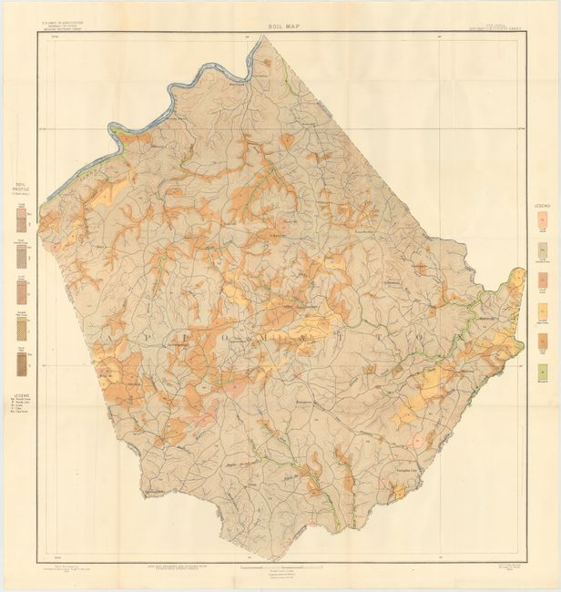
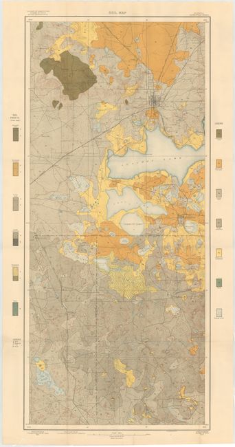
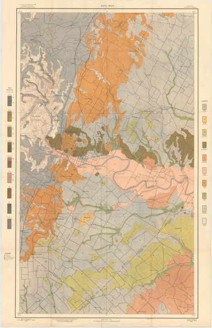
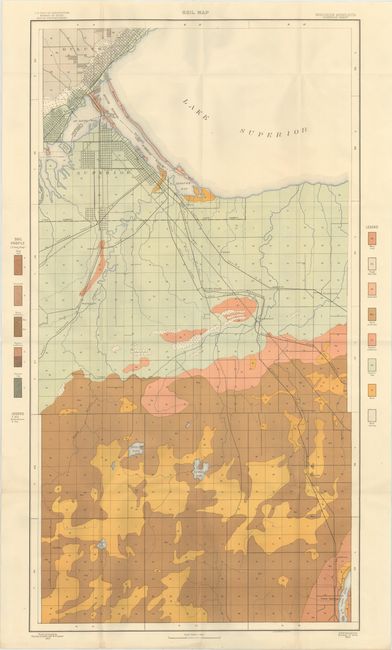
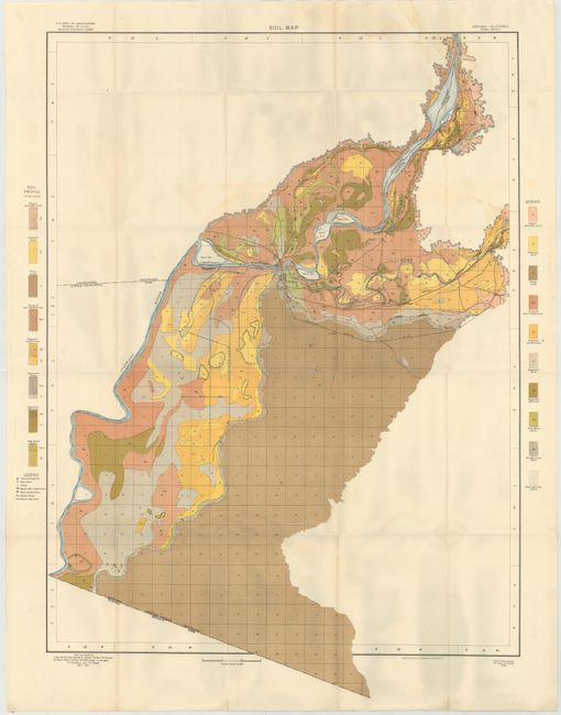
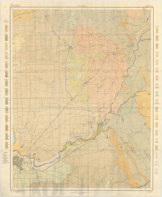
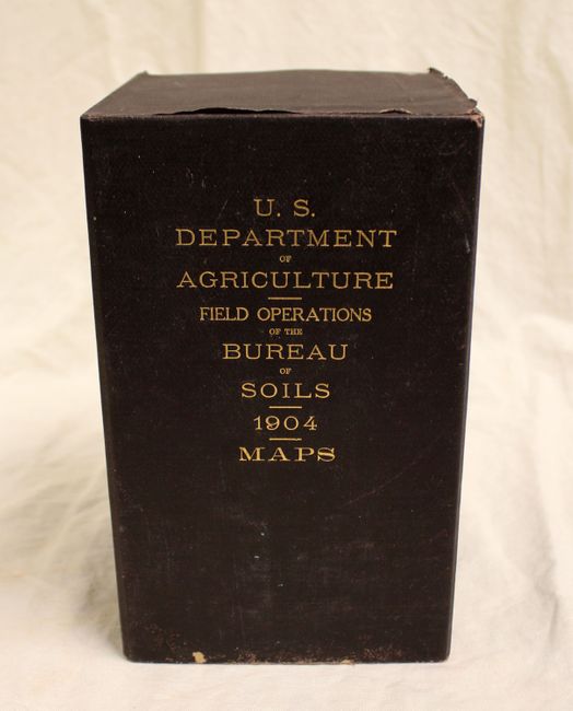
"[Lot of 53 - U.S.D.A. Soil Maps]", U.S.D.A.
1 of 7
Subject: United States
Period: 1904 (dated)
Publication:
Color: Printed Color
Size:
10 x 6 inches
25.4 x 15.2 cm
Download High Resolution Image
(or just click on image to launch the Zoom viewer)
(or just click on image to launch the Zoom viewer)