Catalog Archive
Auction 143, Lot 148

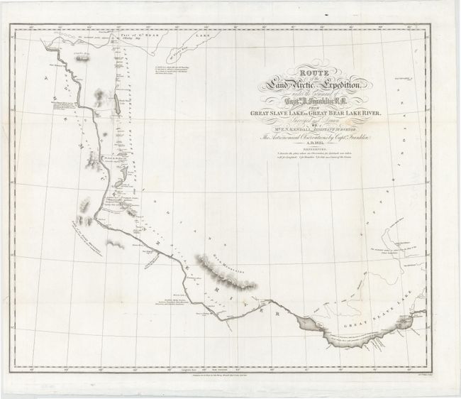
"Route of the Land Arctic Expedition, Under the Command of Captn. J. Franklin R N. from Great Slave Lake to Great Bear Lake River...", Murray, John
Subject: Canadian Arctic

Period: 1828 (dated)

Publication: Narrative of a Second Expedition to the Shores of the Polar Sea

Color: Black & White

Size:
23 x 19 inches
58.4 x 48.3 cm
Download High Resolution Image
(or just click on image to launch the Zoom viewer)

This uncommon map of the Arctic extends from the Great Bear Lake in the north and follows the MacKenzie River to its source in the Great Slave Lake, and shows a dashed line indicating the route of Captain John Franklin's expedition in 1827. The map provides information reflecting the progress of explorations in that region, with many notations detailing geographical conditions. The Mackenzie Mountains are here called the Rocky Mountains, and the locations of various Indian tribes are noted.

References:

Condition: B+

Issued folding, now pressed with some minor creasing and a couple insignificant spots. Two tears in left margin that just enter neatline have been archivally repaired.

Estimate: $240 - $300

Sold for: $200

Closed on 2/13/2013

Archived