Catalog Archive
Auction 143, Lot 148
"Route of the Land Arctic Expedition, Under the Command of Captn. J. Franklin R N. from Great Slave Lake to Great Bear Lake River...", Murray, John
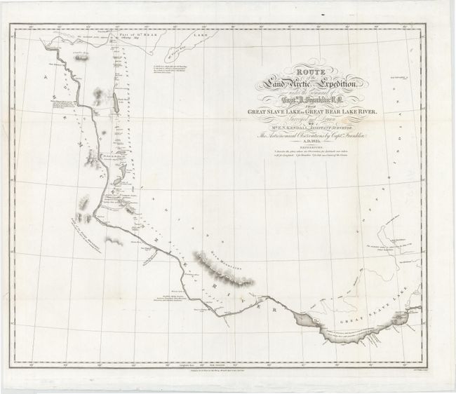
Subject: Canadian Arctic
Period: 1828 (dated)
Publication: Narrative of a Second Expedition to the Shores of the Polar Sea
Color: Black & White
Size:
23 x 19 inches
58.4 x 48.3 cm
Download High Resolution Image
(or just click on image to launch the Zoom viewer)
(or just click on image to launch the Zoom viewer)