Subject: Atlases
Period: 1825 (circa)
Publication:
Color: Hand Color
Size:
9.3 x 11.5 inches
23.6 x 29.2 cm
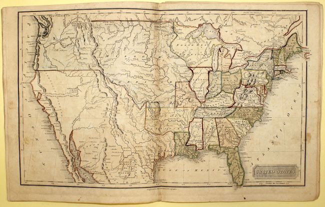
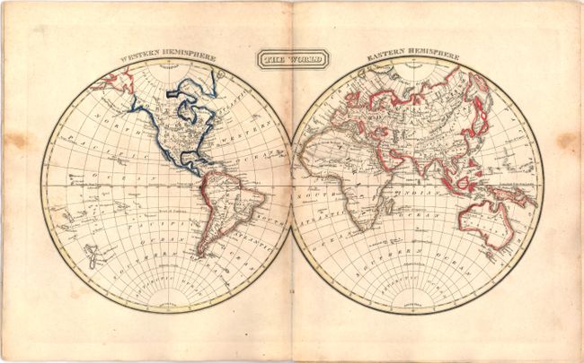
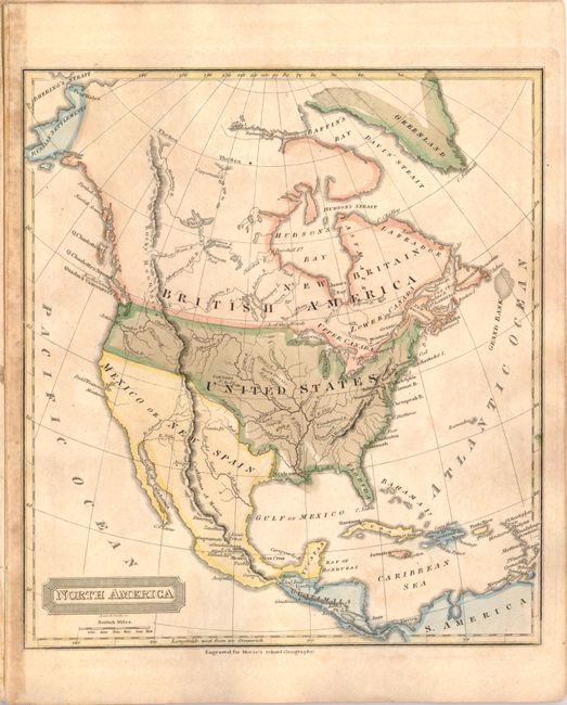
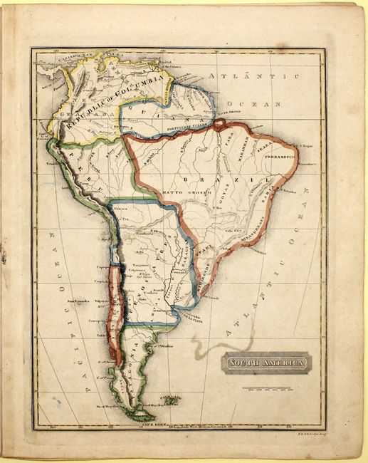
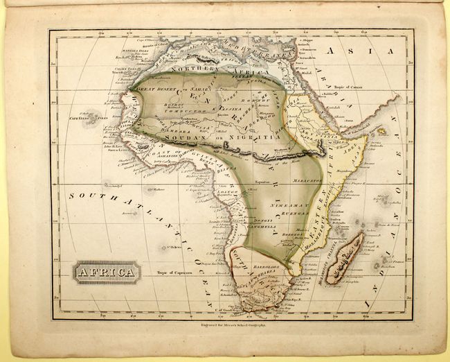
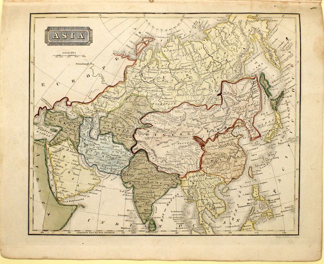
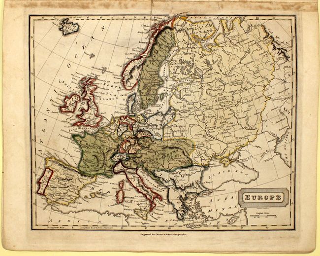
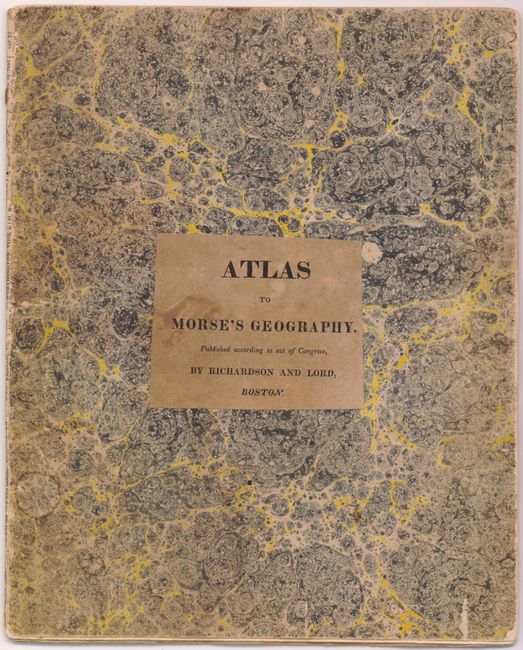
This atlas was intended to accompany Morse's Geography and includes 8 maps: world (double-page), United States (double-page), North America, South America, Europe, British Isles, Asia, and Africa. The US map shows the Arkansaw Territory in its larger configuration, in addition to a giant Missouri Territory. The northwestern boundary between the United States and the British possessions in Canada is not delineated reflecting the joint occupation of the Oregon territory. Mexico occupies the American Southwest and Texas. Published by Richardson and Lord, Boston. 4to. Softbound with marbled paper covers with title printed on brown paper and attached to front cover
References:
Condition: B+
Original color with light toning and minor soiling. The covers are worn and stained and the plates are held in place only by a thread. This is in unusually nice condition for this atlas.