Catalog Archive
Auction 141, Lot 378

"Carte du Groenland", Laurent, J.

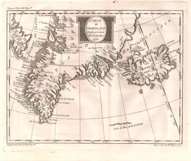
Subject: Greenland and Iceland

Period: 1770 (dated)

Publication: Histoire Generale des Voyages

Color: Black & White

Size:
9.8 x 7.4 inches
24.9 x 18.8 cm
Download High Resolution Image
(or just click on image to launch the Zoom viewer)

This finely engraved chart of Greenland and Iceland shows the Davis Strait, and a portion of Baffin Island in Northeast Canada. Many harbors are located on Greenland's coast with inlets and bays. Three channels are marked with dotted lines apparently demarking the three islands that were thought to make up the tip of Greenland. A small hint of the northern coast of the fictitious Frisland appears as well.

References:

Condition: A

There are a few minute wormholes in the lower portion of the image only visible when held to light.

Estimate: $100 - $130

Sold for: $50

Closed on 9/5/2012

Archived