Catalog Archive
Auction 141, Lot 373

"Carte pour Servir a l'Histoire Philosophique et Politique des Etablissemens et du Commerce des Europeens Dans les Deux Indes…", Bonne, Rigobert

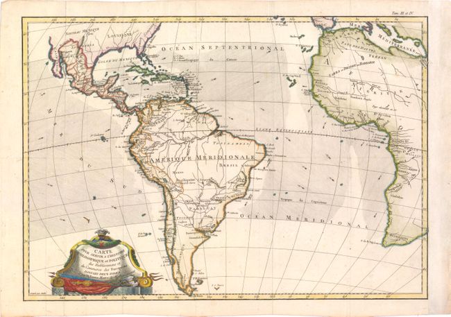
Subject: Atlantic Ocean & South America

Period: 1775 (dated)

Publication:

Color: Hand Color

Size:
18 x 12.5 inches
45.7 x 31.8 cm
Download High Resolution Image
(or just click on image to launch the Zoom viewer)

This chart is roughly centered on the Atlantic Ocean and includes most of Africa, the southern part of North America, the West Indies and all of South America. The focus of the chart is European trade and commerce with the Americas. Arrows depict the directions of the currents or prevailing winds in the oceans. There is a fair amount of detail in Central and South America. Two mythical lakes, L. Parim and L. Xarayes, appear in South America. The Baja is here called Californie, and only the cities of New Orleans, Santa Fe and St. Augustine appear in the U.S. Embellished with a decorative title cartouche. Engraved by Andre.

References:

Condition: B+

Issued folding, now pressed, on watermarked paper with a few minor spots. Professionally remargined at right.

Estimate: $150 - $200

Sold for: $100

Closed on 9/5/2012

Archived