Catalog Archive
Auction 141, Lot 163

"A New and Accurate Map of the Present Seat of War in North America",

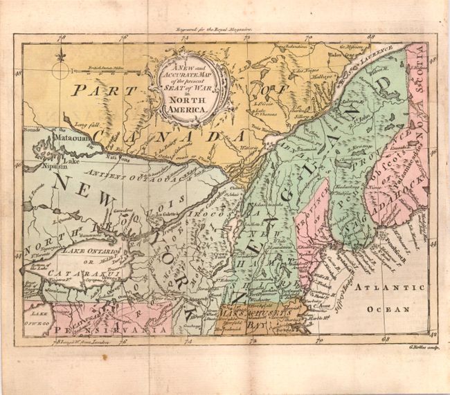
Subject: Colonial New England

Period: 1759 (published)

Publication: Royal Magazine

Color: Hand Color

Size:
14.8 x 11.3 inches
37.6 x 28.7 cm
Download High Resolution Image
(or just click on image to launch the Zoom viewer)

This is an interesting map of New England and Eastern Canada showing the region disputed in the French and Indian War from a British point of view. New York is shown to include present day Ontario and New England's northern boundary is the St. Laurence River. New York extends north of Lake Ontario and Lake Erie is here called Lake Oswego. Engraved by G. Rollos. Published in the November 1759 issue.

References: McCorkle #759-4; Sellers & Van Ee #85; Jolly ROYMAG-5.

Condition: B+

Original color with a few minor spots of foxing and a bit of offsetting.

Estimate: $300 - $400

Sold for: $150

Closed on 9/5/2012

Archived